Scenic driveEasy
Alappuzha–Changanassery (AC) Road
Alappuzha–Changanassery, Kuttanad, Kerala
flood-prone paved backwater road terrain
 AI · representation only
Easy
9 easy trails across India.
9
Trails
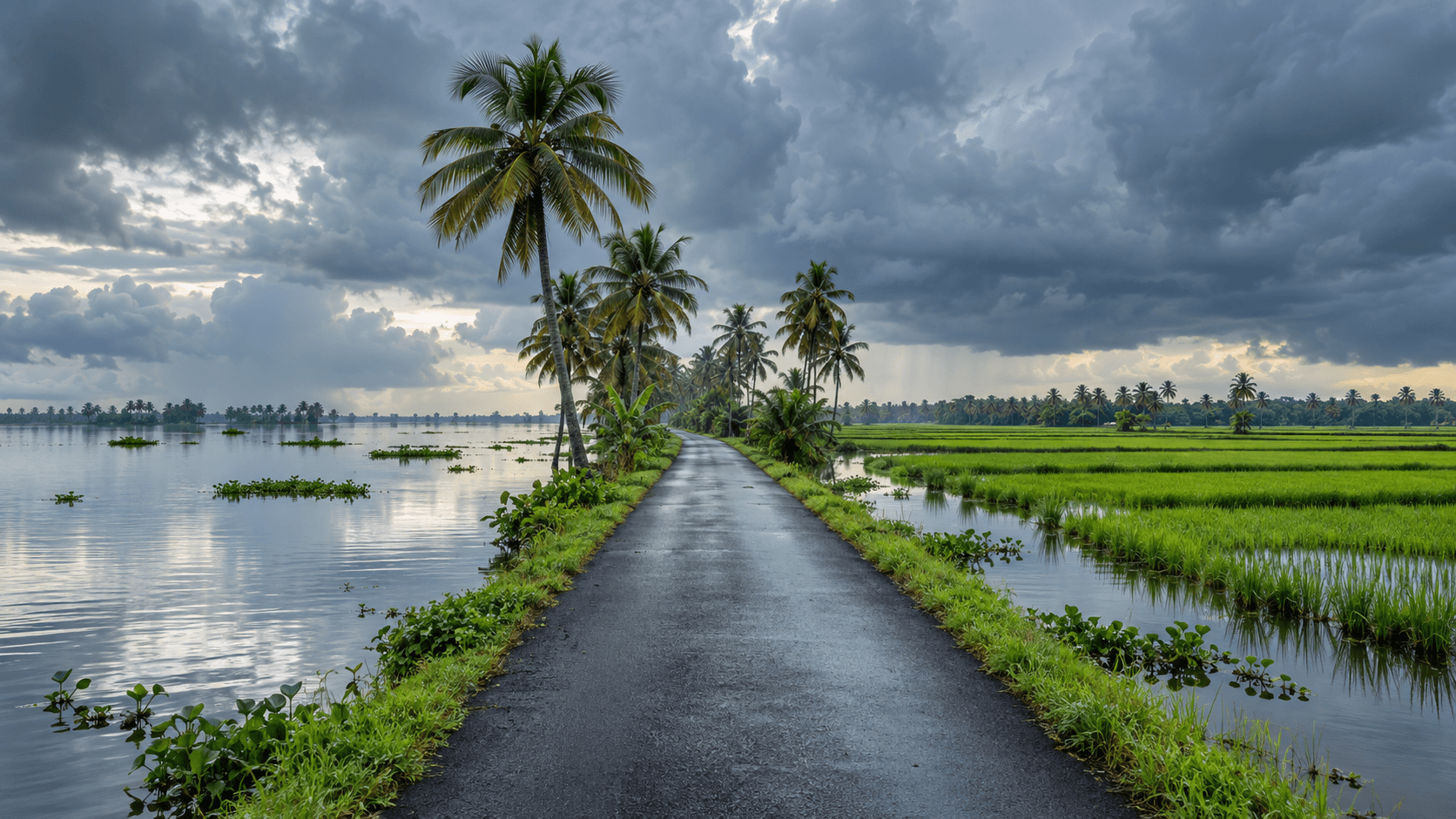
Alappuzha–Changanassery (AC) Road, State Highway 11, is a paved scenic drive through Kerala’s low-lying Kuttanad backwater landscape. The roughly 24 km corridor runs between Alappuzha and Changanassery beside the AC Canal, with paddy fields, canals and coconut-lined stretches rather than off-road terrain. It can be affected by monsoon waterlogging and floods; check current road conditions and never drive into floodwater.
easy · flood-prone paved backwater road terrain
Alappuzha–Changanassery, Kuttanad, Kerala
Alappuzha–Changanassery, Kuttanad, Kerala
flood-prone paved backwater road terrain
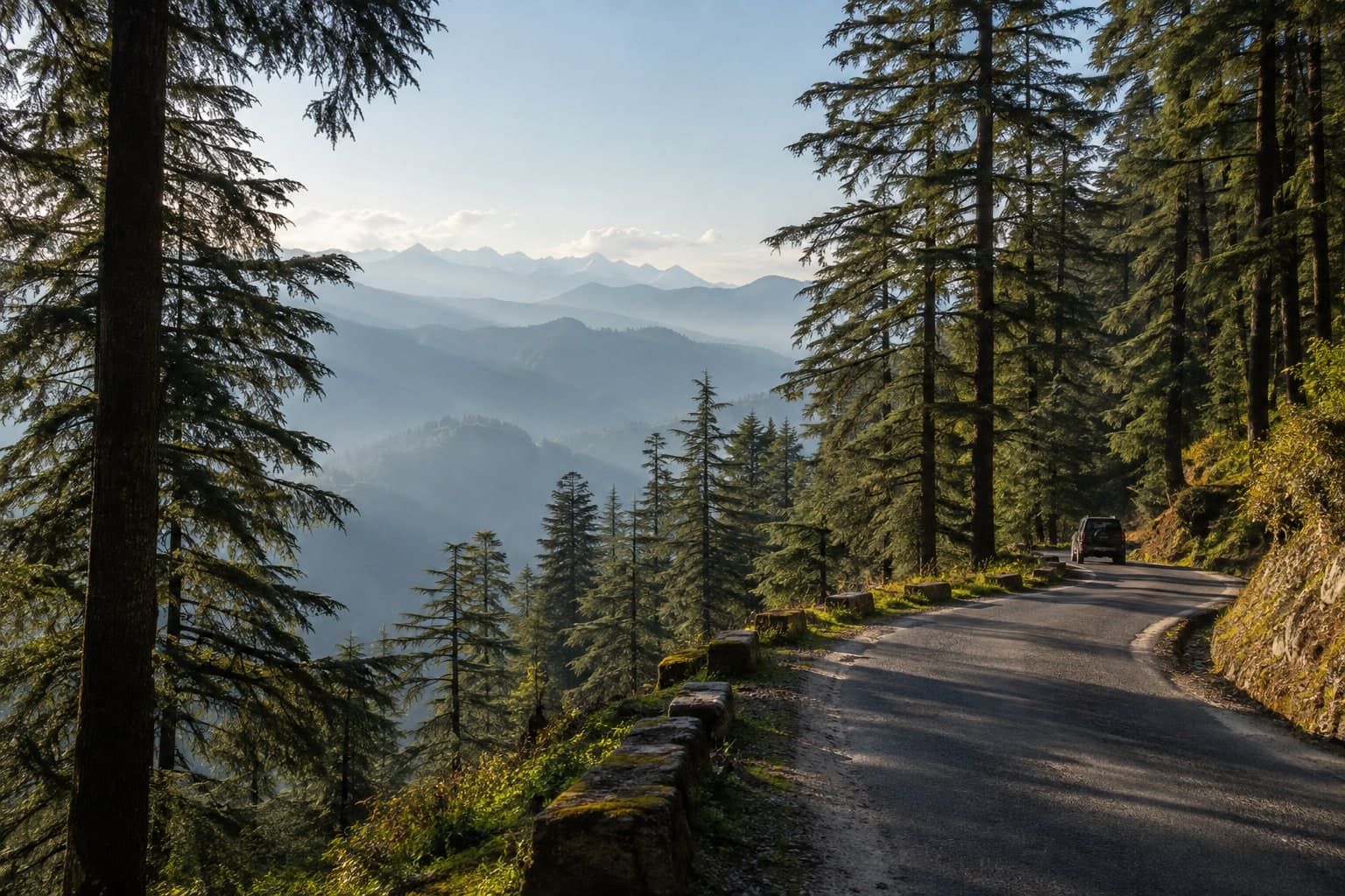
Dhanaulti is a quiet deodar-forest ridge on the Mussoorie–Chamba road in Tehri Garhwal — an easy, public, sealed mountain drive an ordinary car can do. The government district page (tehri.nic.in) places it 'on the Mussoorie-Chamba route, 24 km from Mussoorie and 29 km from Chamba,' amid thick deodar, rhododendron and oak. The two ridge-top eco parks are **Amber** and **Dhara** (about 200 m apart), with a Forest Rest House on site. Any eco-park entry charge is set on the ground — confirm at the gate. **Best season:** March–June and September–November.
easy · Deodar-forest ridge; sealed motorable mountain road terrain
Dhanaulti, Mussoorie–Chamba road, Tehri Garhwal, Uttarakhand
Dhanaulti, Mussoorie–Chamba road, Tehri Garhwal, Uttarakhand
Deodar-forest ridge; sealed motorable mountain road terrain
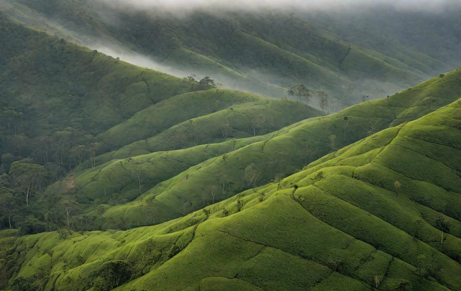
Genepool (Gene Pool) Ecotourism is a government-run eco-destination at Nadugani, near Gudalur in The Nilgiris, Tamil Nadu — in the Gudalur Forest Division within the wider Nilgiri Biosphere Reserve, near the Mudumalai Tiger Reserve. You reach it by a scenic ghat drive on the Gudalur–Ooty route via Nadugani Churam, then explore on foot and by a Forest-Department safari. The marquee Gene Pool nature trek (graded easy, ~8 km two-way through grassland and shola forest) and the Needle Rock viewpoint sit alongside a department-run off-road jeep safari to a forest waterfall, plus Tree-Hut cottages, a canopy zipline, an ecopark, aquarium and orchidarium. **Access:** The approach roads and Needle Rock viewpoint are public; the off-road safari runs on Forest-Department vehicles only (no private vehicles; Forest-Department vehicles only) and is booked through the department. It runs year-round — avoid peak summer (roughly March–April). **Best season:** post-monsoon to winter; open year-round.
easy · Grassland & shola forest, Ghat road terrain
Nadugani, Gudalur, The Nilgiris, Tamil Nadu
Nadugani, Gudalur, The Nilgiris, Tamil Nadu
Grassland & shola forest, Ghat road terrain
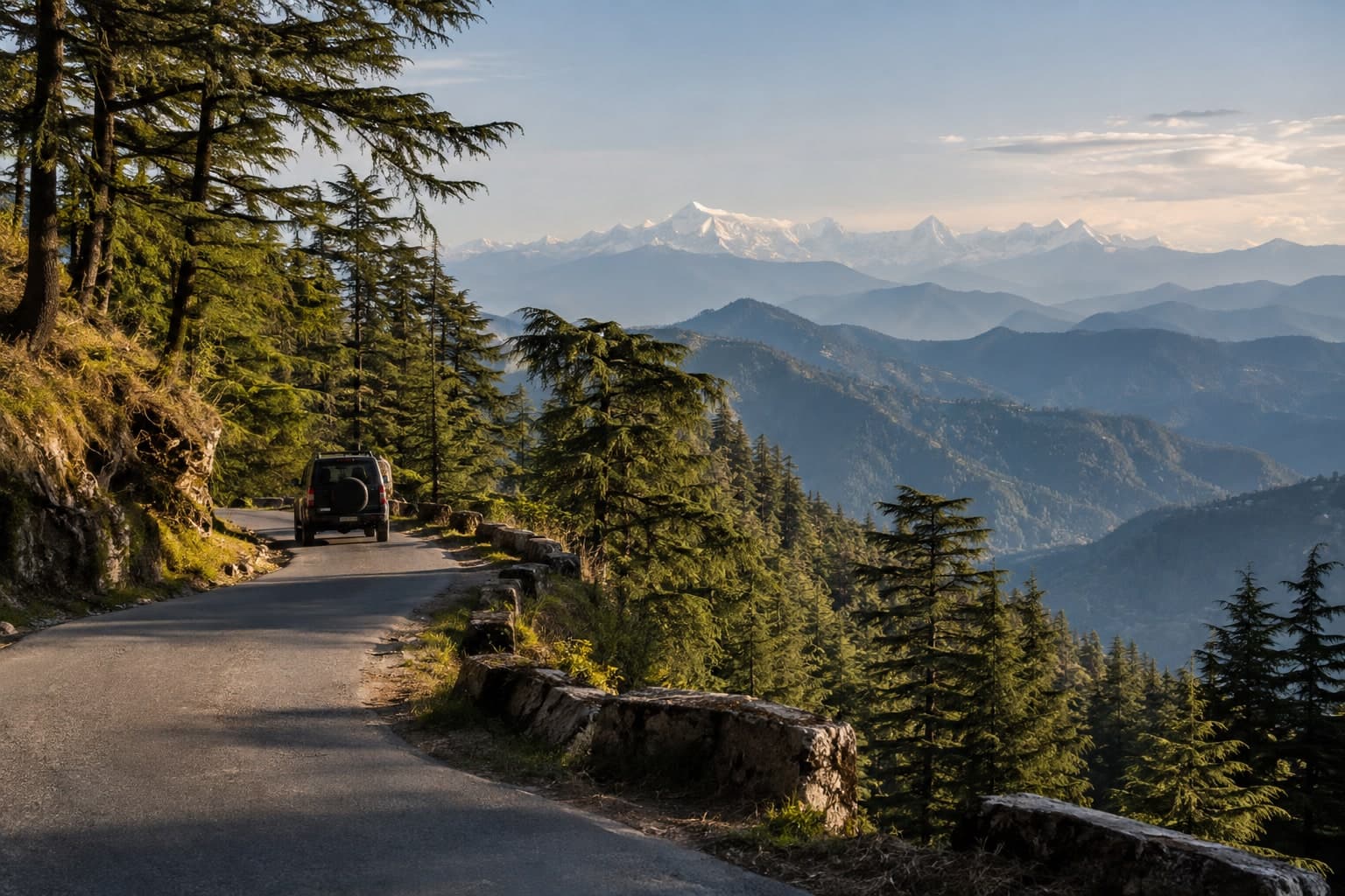
Kanatal is a small deodar-forest hamlet on the Chamba–Mussoorie road in Tehri Garhwal (about 2,600 m). The through-road is a public, sealed, switchbacked mountain route, and the Kanatal–Dhanaulti stretch makes an easy, pretty ridge drive an ordinary car can handle. There is no permit or restriction here — it's an open hill route. **Best season:** March–June and September–November; carry chains/caution for occasional winter snow.
easy · Deodar-forested ridge; sealed mountain road with switchbacks terrain
Kanatal, Chamba tehsil, Tehri Garhwal, Uttarakhand
Kanatal, Chamba tehsil, Tehri Garhwal, Uttarakhand
Deodar-forested ridge; sealed mountain road with switchbacks terrain
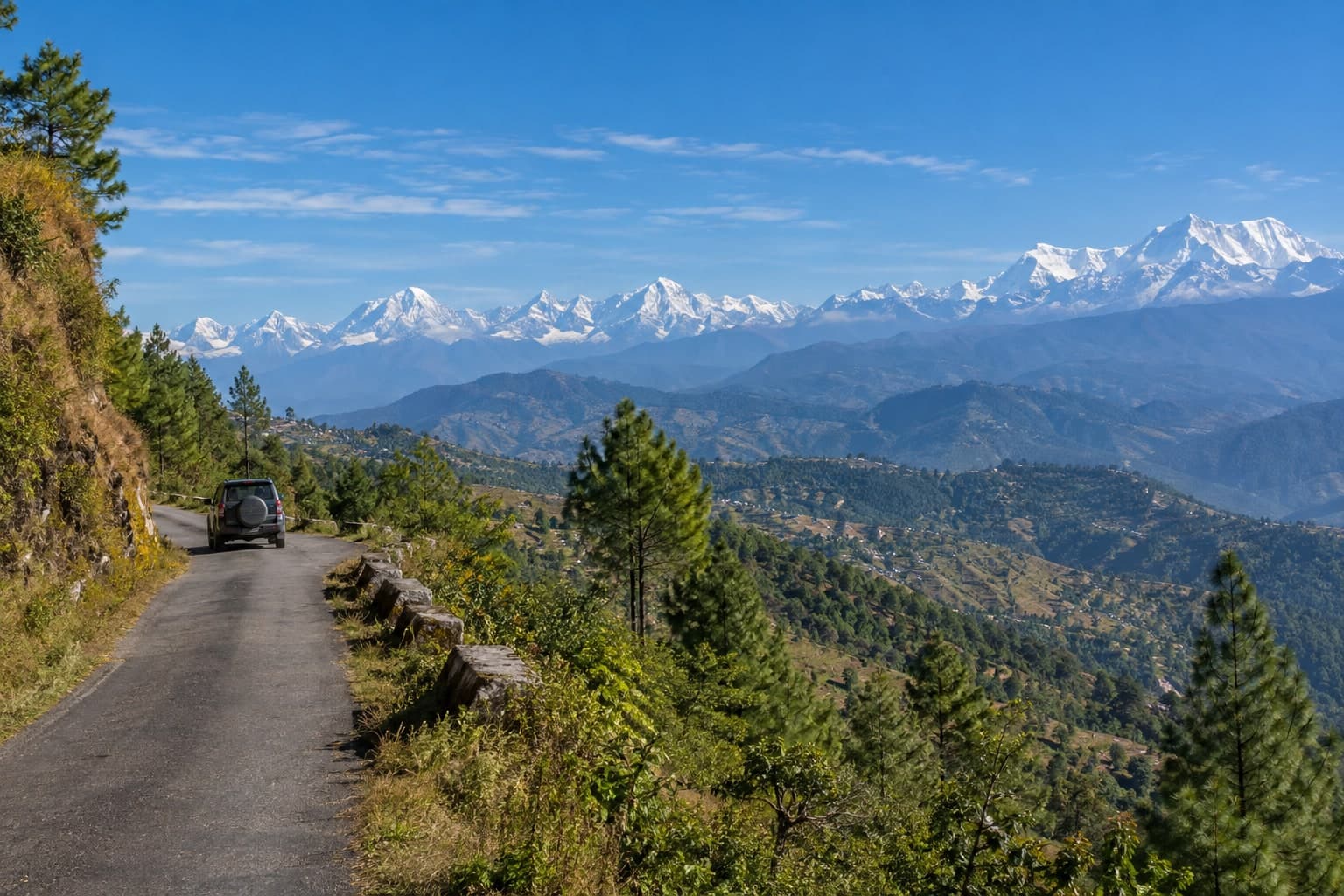
Kausani is a ridge-top hill town in Bageshwar district, Kumaon (about 1,890 m), famous for a wide Trishul–Nanda Devi Himalayan panorama. It is reached by ordinary paved state/district roads via Almora–Someshwar or Garur/Baijnath — an easy, open self-drive with no permit. (District note: Kausani was in Almora until 1997, when Bageshwar was carved out — older sources citing Almora are historical.) **Best season:** clearest mountain views October–March; March–June pleasant.
easy · Paved hill/ridge road, hairpins, forested slopes terrain
Kausani, Bageshwar district, Kumaon, Uttarakhand
Kausani, Bageshwar district, Kumaon, Uttarakhand
Paved hill/ridge road, hairpins, forested slopes terrain
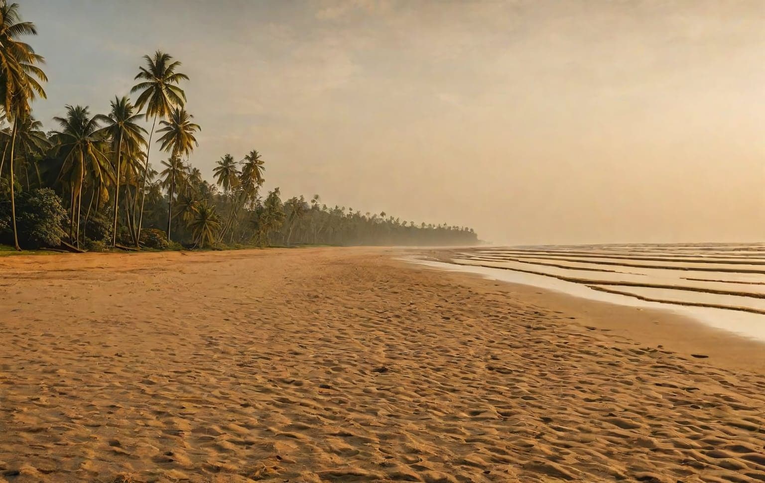
Muzhappilangad in Kannur is the longest drive-in beach in Asia and one of the very few places in India where driving on the sand is actually legal — a roughly four-kilometre stretch of hard, flat sand along the Arabian Sea, sheltered by a line of black rocks that keeps the surf gentle. The sand is firm enough that even an ordinary car can manage it (a nominal entry fee applies), so it works as an easy, enjoyable first taste of sand driving rather than a technical challenge. This is the exception, not the rule: driving on almost every other Indian beach is prohibited under Coastal Regulation Zone rules and has led to fines and arrests elsewhere, so never assume a beach is open to vehicles. Even here, stay on the firm wet sand and well back from the waterline, keep off the soft dry sand higher up, watch the tide, and rinse the salt off your underbody afterwards. Avoid the monsoon months, when the sea reclaims much of the beach. **Best season:** October - May **Recommended tyre pressure:** 18-22 PSI **Preparation:** - Driving here is legal, but pay the entry fee and follow the on-beach marshals - Stay on the firm wet sand, well back from the surf; avoid the soft dry sand - Mind the tide times and never park where the water can reach you - Rinse salt off the underbody afterwards; skip the monsoon months entirely
easy · Sand terrain
Kannur, Kerala
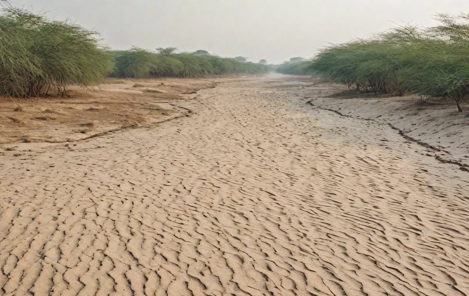
The Palar riverbed near Chennai is where most of Tamil Nadu's off-roaders cut their teeth. Wide, forgiving stretches of sand and shallow water crossings make it an ideal first trail — there is room to make mistakes, learn how your vehicle behaves on loose surfaces, and practise airing down without serious consequences. The terrain is mostly soft sand interspersed with shallow channels of water during and just after the monsoon. The key skill here is momentum management: keep a steady throttle, avoid sudden steering, and never stop on the softest patches. Because it is close to the city, it is also a popular weekend gathering point, so you will rarely be alone. Go in a group, air down to around 18-22 PSI before entering the sand, and carry a basic recovery kit. Treat the water crossings with respect — walk them first if you are unsure of the depth, especially after rain. Driving on the Palar riverbed is not automatically legal — it falls under Revenue/PWD jurisdiction and has been subject to Madras High Court and NGT controls. Get written clearance from the Chengalpattu District Collector's office and confirm no current court order restricts the stretch before you go; avoid any protected or restricted areas. **Best season:** November - February **Recommended tyre pressure:** 18-22 PSI **Preparation:** - Travel in a group of at least two vehicles - Air down to 18-22 PSI before entering the sand - Walk unfamiliar water crossings before driving them - Carry a recovery rope and traction boards
easy · Sand, Water Crossing terrain
Chengalpattu, Tamil Nadu
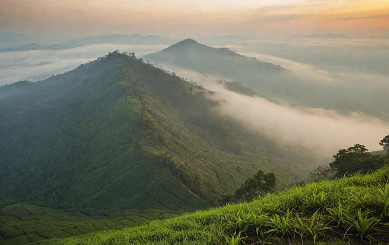
Parunthumpara — ‘Eagle Rock’ — is a grassy hilltop viewpoint near Peermade in Idukki, Kerala, at about 1,433 m (4,700 ft), overlooking the distant Sabarimala forests and the Azhutha river valley. It is reached by a genuinely rough, unsealed hilltop road off the highway, which makes it a light off-road / rough-road scenic drive rather than a technical 4×4 trail. The surface is broken hill road and grass; the real hazards are the exposed edges, tight curves and fast-rolling afternoon mist rather than obstacles. It is green and at its best in and after the monsoon (roughly June–January). **Access:** No permit, gate or entry fee is reported — it appears to be open access on public/plantation road. Land tenure is not pinned to a government record, so confirm access locally before you go. Operators often bundle it into the same Peermade/Thekkady jeep-safari circuit. **Best season:** June – January.
easy · Grass, Rough hill road terrain
Peermade, Idukki, Kerala
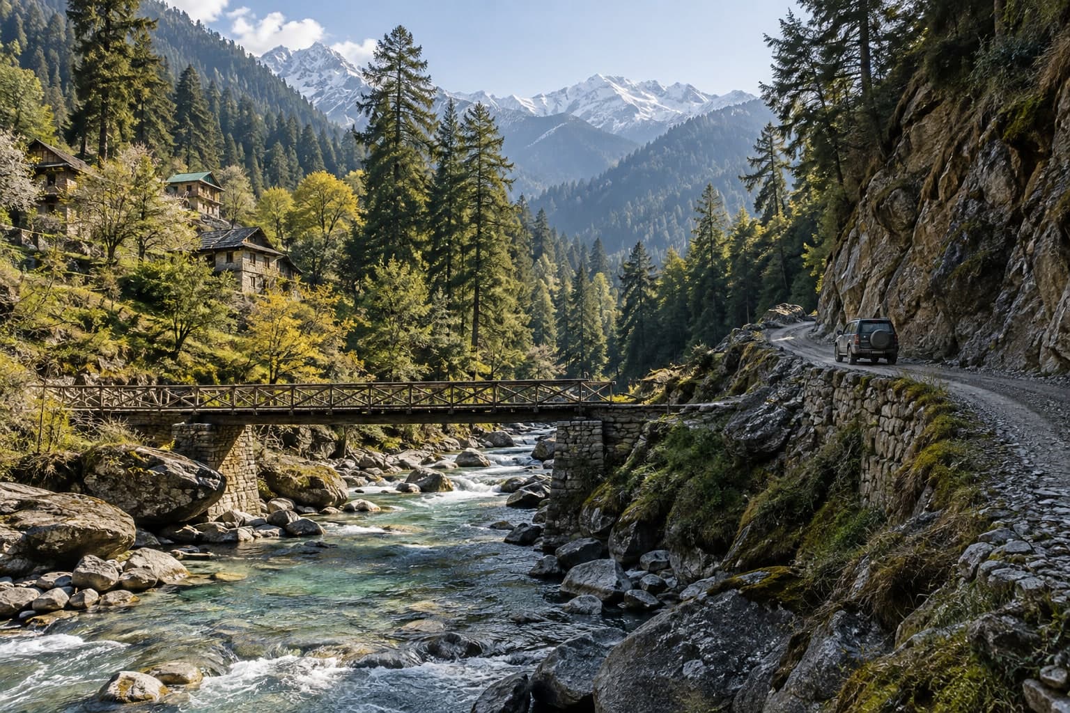
The Tirthan Valley is the quiet, forested Kullu backwater around the villages of Banjar, Gushaini and Jibhi - the road-accessible gateway to the UNESCO-listed Great Himalayan National Park (GHNP). A single valley road runs beside the trout-filled Tirthan river through orchards, waterfalls and Kath-Kuni hamlets to the park's eco-zone, making it an easy, family-friendly self-drive rather than a technical trail. It pairs naturally with the Jalori Pass climb above Shoja. The valley road is generally open year-round but can be affected by monsoon landslips. **Access:** the valley road and villages are public. The Great Himalayan National Park itself is a protected reserve - entry beyond the eco-zone (Gushaini/Ropa) is on foot with a forest permit, and vehicles stay on the public road. Confirm current GHNP permit rules with the park office.
easy · River-valley road along the Tirthan, forest & orchard drive, deodar hamlets terrain
Tirthan Valley, Banjar tehsil, Kullu district, Himachal Pradesh
Tirthan Valley, Banjar tehsil, Kullu district, Himachal Pradesh
River-valley road along the Tirthan, forest & orchard drive, deodar hamlets terrain