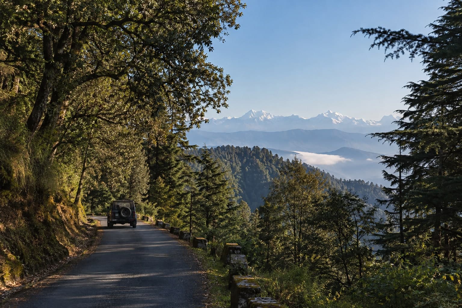
Moderate Some areas need permits
Binsar Wildlife Sanctuary — Drive to Zero Point
Binsar, Almora district, Kumaon, Uttarakhand
Oak & rhododendron sanctuary forest; narrow sealed/rough road to Zero Point terrain
Safety & access check
Munsiyari — Kumaon High-Himalaya Roadhead Drive
Off-roading is dangerous, and this trail is not verified by us.
4x4trails.in is an informational directory. We compiled this trail from public and government sources — we have NOT surveyed, driven, tested or physically verified it on the ground, and we do NOT guarantee it is accurate, complete, safe, passable, or legal. Conditions can change without notice.
You are responsible for your own safety and for obeying the law. Before you go, you must: check that you are legally allowed to enter and drive this route — some areas are private land or Forest Department / protected areas where driving without a permit or permission is a criminal offence, and it can lead to your vehicle being seized and to fines or prosecution; judge for yourself whether the route, the weather, water crossings and your vehicle and skill are safe — off-roading can cause serious injury, death, or loss of your vehicle; carry proper recovery gear, offline navigation, and a way to call for help, and do not rely on this site for navigation or in an emergency.
This is not theoretical. Across India, drivers have had their vehicles impounded and seized, and have faced heavy fines, FIRs and prosecution, for taking 4x4s into reserved and protected forests, wildlife sanctuaries, eco-sensitive zones and dry riverbeds without permission. Under the Wildlife (Protection) Act 1972 and the Indian Forest Act 1927 the vehicle itself can be confiscated. Assume the penalty is losing your vehicle and a court case — not just being turned away.
By continuing you confirm you have read this, you use this trail entirely at your own risk, and you agree to our Terms of Use and Privacy Policy. You accept that 4x4trails.in and its operators are not responsible for what happens on any trail.
See our Terms of Use and Privacy Policy.
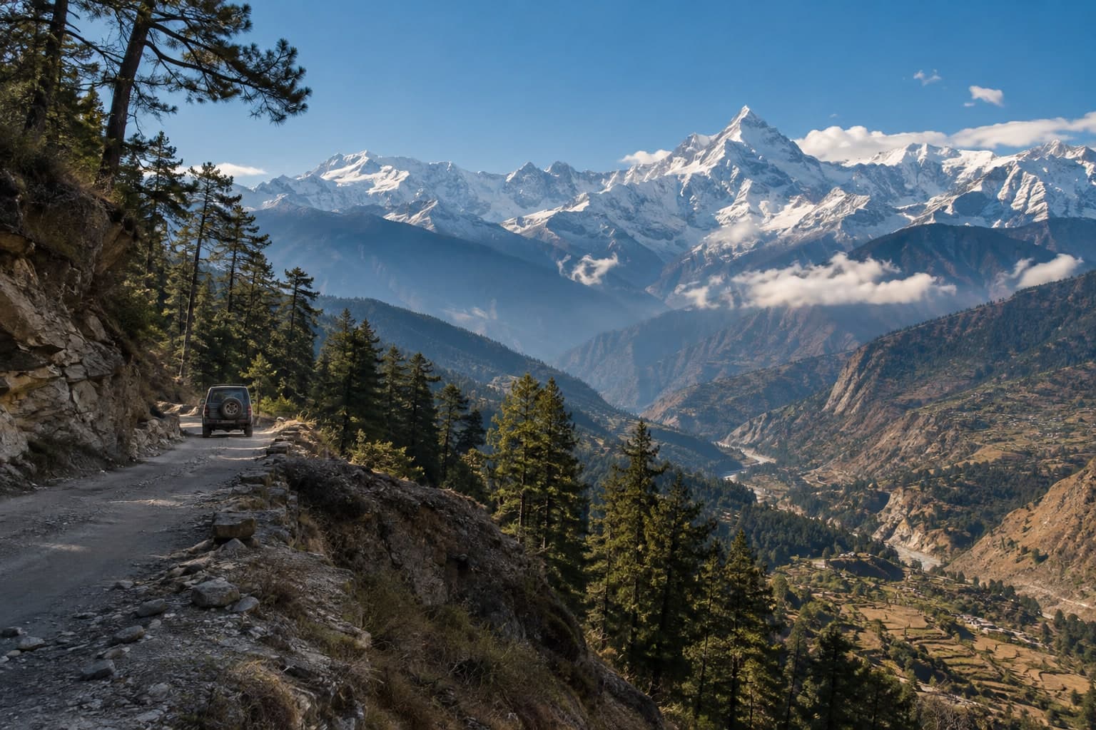
off-road & scenic-drive route
Community-submitted trail
Munsiyari, Pithoragarh district, Kumaon, Uttarakhand
Munsiyari is a high roadhead town in Pithoragarh district, deep in Kumaon (~2,200 m), facing the Panchachuli peaks — reached by a long self-drive on public mountain roads via Almora and Thal. The town and its viewpoints are open self-drive.
Vehicle suitability: A stock 4×4 with low-range is comfortable. Carry basic recovery gear.
The scenery and terrain this area is associated with, illustrated — not a live road-condition image.
Representative AI gallery — no real photographs in this gallery.
Representative imagery only. These illustrate wildlife, scenery or experiences that may be associated with this destination — they are not photographs of this specific event, and no particular animal, bird or sighting is guaranteed. Images marked ✨ AI are AI-generated.
Use this checklist to prepare for Munsiyari — Kumaon High-Himalaya Roadhead Drive. It is not a verified route or itinerary; the listed area is Munsiyari, Pithoragarh district, Kumaon, Uttarakhand.
Confirm current access before travelling
A published listing or map result is not permission to enter or drive a route. Published access note: Open self-drive to Munsiyari town via Almora–Thal. The Johar/Milam glacier route north of Munsiyari is an Inner-Line belt (Darma and Om Parvat/Lipulekh/Adi Kailash are reached separately from the Dharchula–Tawaghat side) with CHANGING and conflicting permit rules — confirm the current requirement with the SDM Munsiyari / Dharchula before proceeding. Do not assume they are permit-free.
Locate the listed area
Check that the map result matches Munsiyari, Pithoragarh district, Kumaon, Uttarakhand. A place-search result does not identify an approved start, checkpoint or vehicle route.
Area search only; no driving line, exact trailhead or GPS route is supplied.
Area search · not an exact trailhead
Confirm access and travel mode
Check current entry rules, landowner or forest permissions and conditions with the responsible authority. Establish whether the final approach permits your vehicle, needs a managed transfer, or must be walked; this checklist does not select a mode.
Confirm parking or arrival arrangements
Identify a permitted arrival or parking point before departure. Confirm any local handoff and return arrangements; no parking pin or operator service is established here.
Visit
Visit only if permitted and safe
Follow the confirmed local access instructions and assess the conditions on arrival. Skip the visit or turn back if permission, the approach or conditions are unclear.
Return leg
Plan the return
Check the permitted return arrangement, conditions and any closing restrictions before starting. Leave a flexible buffer and keep the option to turn back; no duration or day schedule is promised.
This is a preparation checklist, not a source-enriched itinerary. Confirm travel mode, parking, visit and return details before setting your own schedule; no distance, grade, travel time, stay or day count is supplied.
Search the listed area · not an exact trailheadBest seasons
Avoid / impassable in
Condition hazards
This identifies the listed area, not an exact trailhead or approved route.
Munsiyari, Pithoragarh district, Kumaon, Uttarakhand
Area only — an exact trailhead has not been published.
Munsiyari — Kumaon High-Himalaya Roadhead Drive is an off-road & scenic-drive route at Munsiyari, Pithoragarh district, Kumaon, Uttarakhand, India.
Three nearby ideas to continue exploring — check each trail's own access status before you go.
Binsar, Almora district, Kumaon, Uttarakhand
Oak & rhododendron sanctuary forest; narrow sealed/rough road to Zero Point terrain
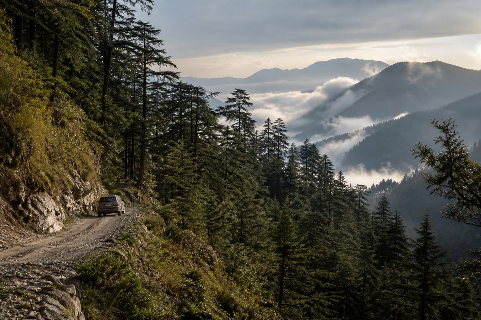
Chakrata & Deoban, Jaunsar-Bawar, Dehradun district, Uttarakhand
Paved/rough hill roads through deodar reserved forest; high-altitude terrain
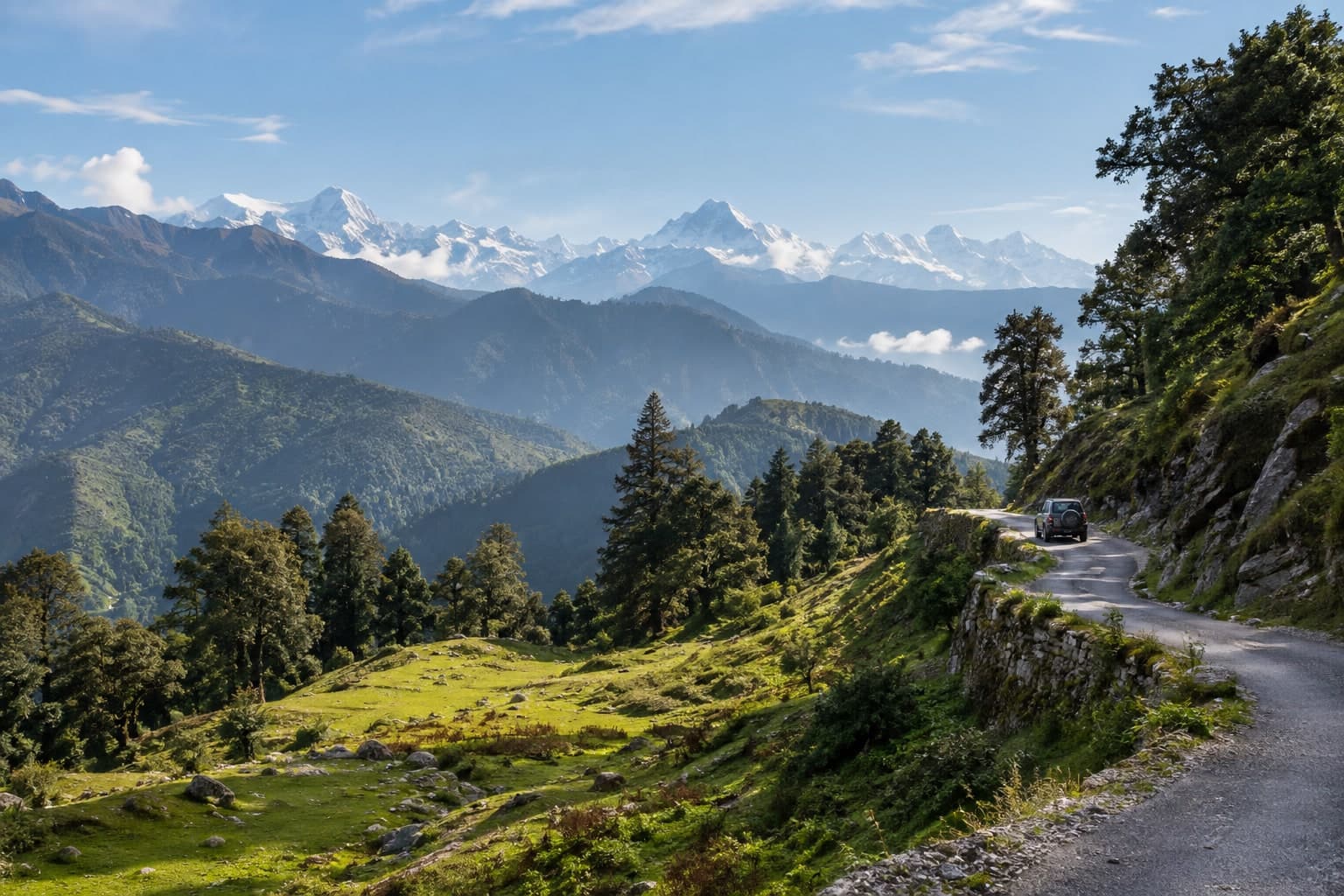
Chopta, near Ukhimath & Sari, Rudraprayag district, Uttarakhand
High-Himalaya tarmac hill road with hairpins; deodar & rhododendron forest terrain