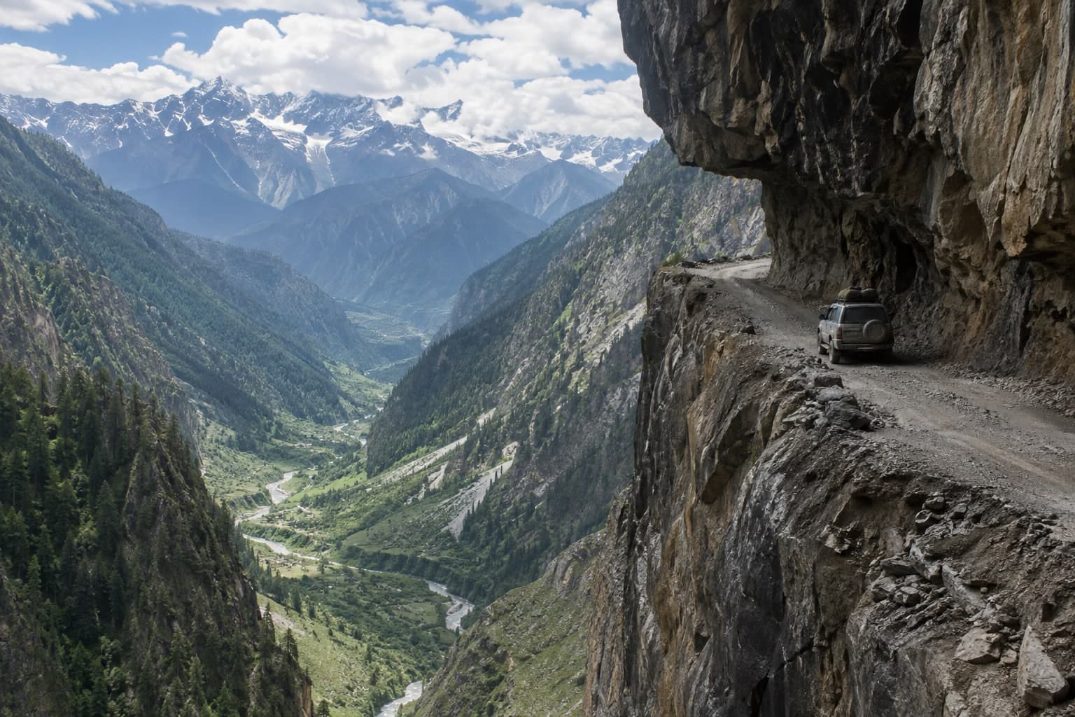
The Killar - Kishtwar road through the Pangi valley is routinely called one of the most dangerous roads in the world - a single-lane ledge blasted into a near-vertical cliff high above the Chenab (Chandrabhaga) gorge, with no guard rails, overhanging rock, and streams and waterfalls pouring straight across the track. It connects the remote Pangi valley town of Killar (Chamba district, HP) with Kishtwar in Jammu & Kashmir.
This is an expert-only expedition drive, not a scenic outing. The surface is rough, passing places are scarce, and the exposure is extreme; it is also seasonally affected by snow, landslides and rockfall.
**Access:** an extremely dangerous cliff road. High-clearance 4x4 only, travel in a group, and do NOT attempt it solo, in rain, or when the road is wet or damaged. Because the route runs to the J&K border belt, confirm current road status and any permit/security requirements with the Chamba (Pangi) and Kishtwar administrations before travel.
extreme · Single-lane cliff-cut ledge above the Chenab gorge, no barriers, rockfall, waterfalls across the track terrain
Killar, Pangi valley, Chamba district, Himachal Pradesh (toward Kishtwar, J&K)
Killar, Pangi valley, Chamba district, Himachal Pradesh (toward Kishtwar, J&K)
Single-lane cliff-cut ledge above the Chenab gorge, no barriers, rockfall, waterfalls across the track terrain
AI · representation only
Publicly sourced
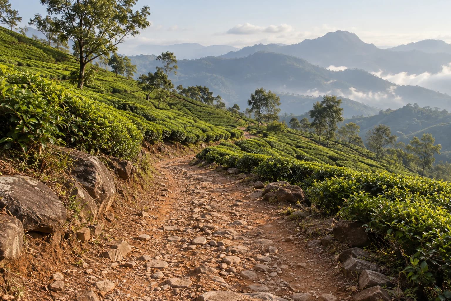
Kolukkumalai is the world's highest tea estate (~2,170 m / 7,130 ft), about 32 km from Munnar. The summit is reached only by 4x4 jeep on a rough, rain-worn mountain track that climbs from Suryanelli through roughly 9–17 km of rock, tea-estate paths and 40–45 tight hairpins — one of South India's most technical jeep climbs — ending at the historic British-era Kolukkumalai tea factory and its famous sunrise viewpoint. This is private tea-estate land: the summit run is operated by local licensed jeep drivers and private vehicles are generally not allowed up, so hire a local 4x4 at Suryanelli. Best driven October–March, when mornings are clear after the monsoon.
extreme · 17 km · Rock, hairpin climbs & tea-estate paths terrain
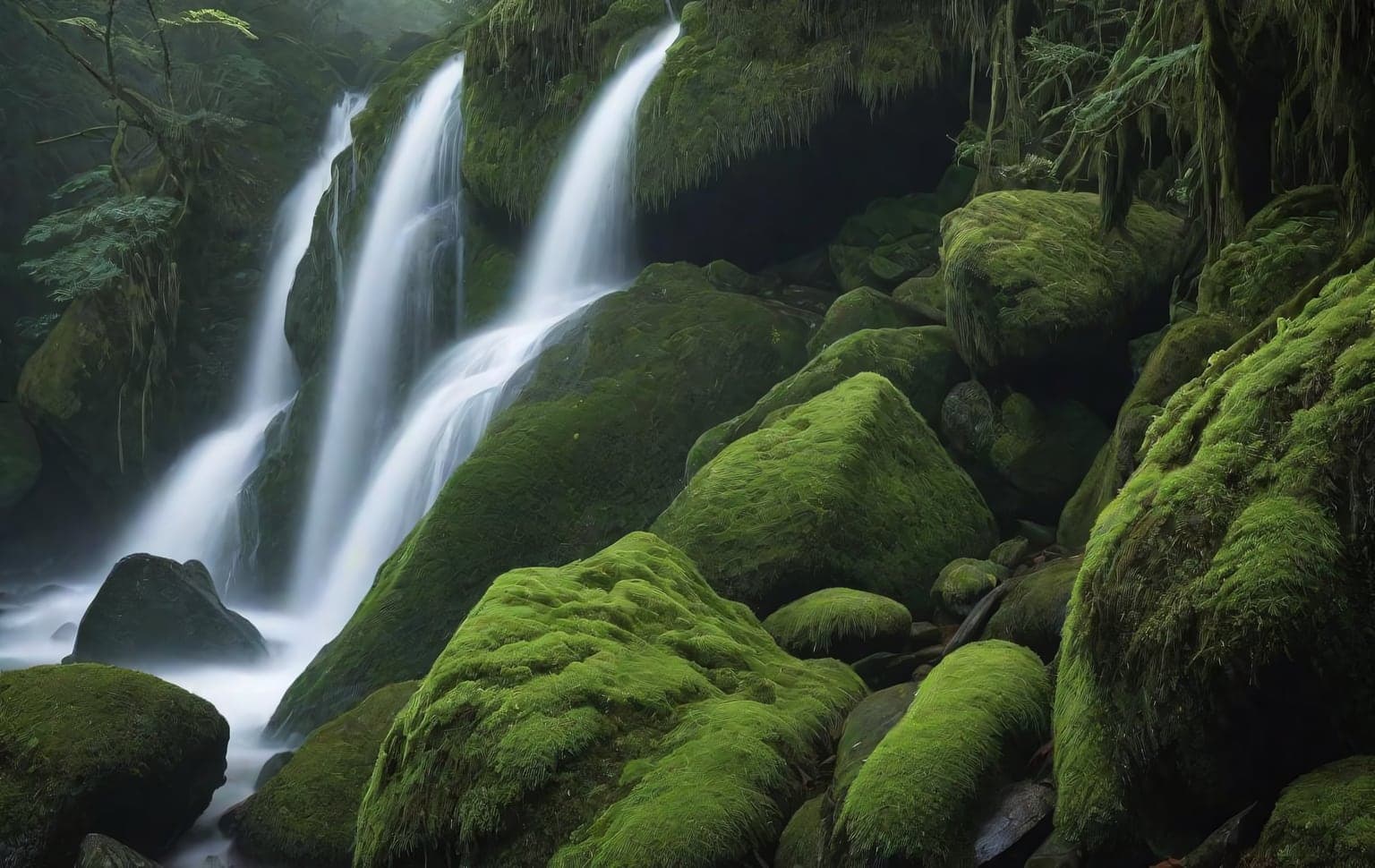
Pepper Falls off-road trail near Kodaikanal (Dindigul district, Tamil Nadu, Western Ghats). A short stretch of made road leads to the point where the local jeeps wait; from there the off-road section begins. The GPS track on this page covers ~16 km of that off-road stretch — the full run out to the film “shooting point”, Seras Cafe and the viewpoints beyond can be around 35 km round trip.
⚠ Serious vehicle-damage risk. The Pallangi → Pepper Falls stretch is a very steep, rough descent — sharp rock, ruts and loose surface that can heavily damage underbody, tyres, suspension or worse if you get it wrong. Attempt only in a capable / modified 4x4 with an experienced driver and proper recovery gear — a stock vehicle will get damaged.
Best done as a GUIDED jeep safari, not a solo self-drive. The terrain crosses plantation and forest-fringe land, and the local drivers know the route, the steep sections and the day’s conditions. Local jeep operators wait at the trailhead and typically charge from about ₹3,500 per jeep. Go with a group, book a local jeep safari, or take a local guide with you.
Access & legality: parts of this route may cross reserved-forest / plantation land near the Kodaikanal hills, where entry can need permission or a Forest Department permit. Do not push past the established track into restricted forest. Confirm current access, routes and charges with the local jeep operators and, where relevant, the Forest Department before you go. Conditions and access can change.
extreme · 15.88 km · steep, rough, rocky descent (Pallangi → Pepper Falls) with high vehicle-damage risk terrain
Pepper Falls, near Kodaikanal, Dindigul, Tamil Nadu
Pepper Falls, near Kodaikanal, Dindigul, Tamil Nadu
steep, rough, rocky descent (Pallangi → Pepper Falls) with high vehicle-damage risk terrain
AI · representation only
Publicly sourced
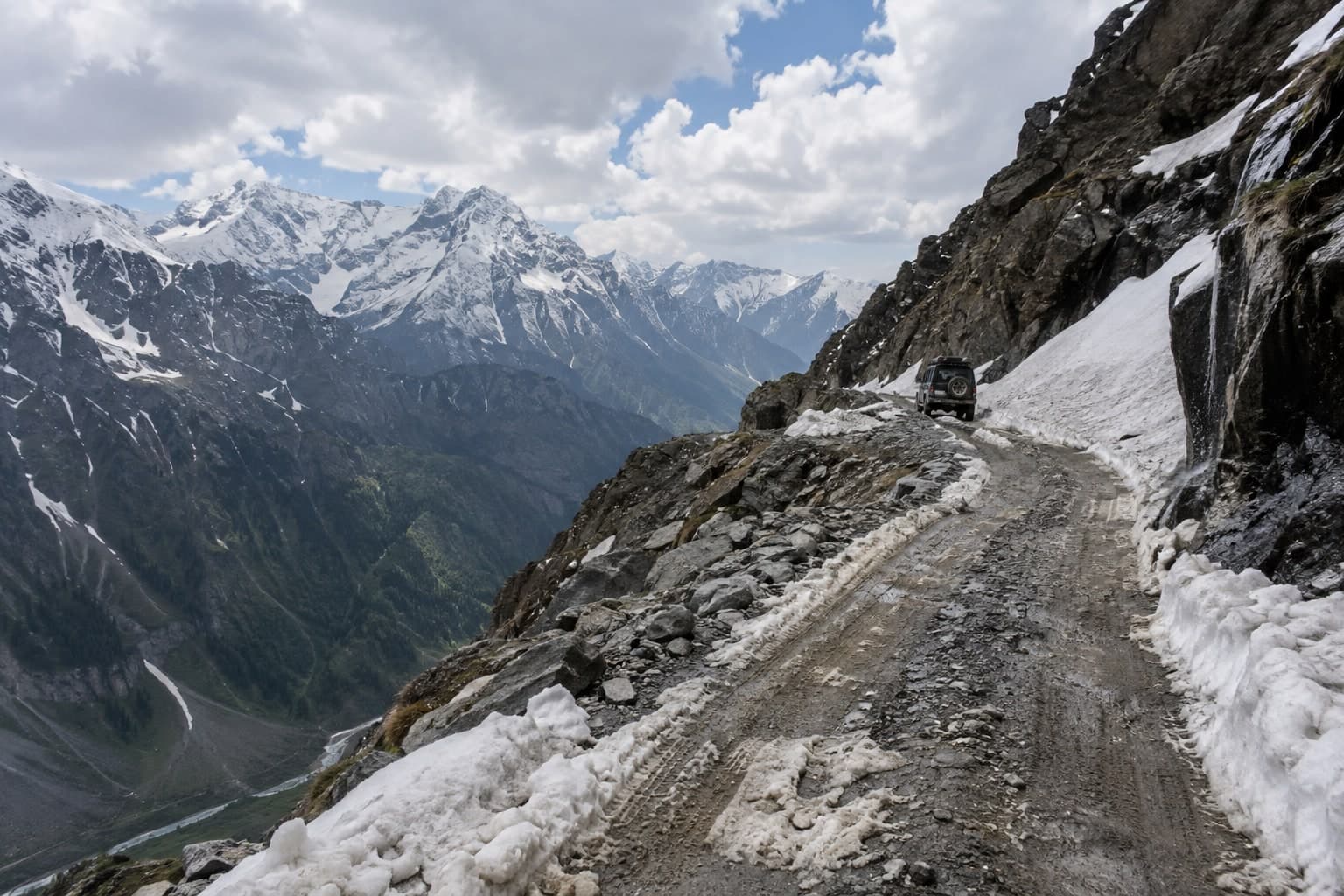
Sach Pass (~4,420 m / 14,500 ft) is one of the most dangerous mountain roads in the world - a raw, largely unpaved Border-Roads track over the Pir Panjal that links the Chamba valley with the remote Pangi valley. It is snowbound and closed for most of the year, typically opening only for a few summer months once the BRO clears it; Himachal media reported it reopening 'after 8 months' before Chamba-Pangi traffic could resume.
This is an expert-only, high-clearance 4x4 route with loose scree, meltwater stream crossings, no barriers and long exposed drops. It is NOT a casual scenic drive.
**Access:** an extremely dangerous, seasonal high-mountain crossing. High-clearance 4x4 only, travel in a group, carry recovery gear, and do NOT attempt it solo, in bad weather, or outside the short open season. Confirm the pass is open with the local administration / BRO before setting out.
extreme · High-altitude unpaved/broken track, ~4,420 m pass, scree, snow, river crossings, exposed drops terrain
Sach Pass, Chamba district, Himachal Pradesh (Chamba valley to Pangi valley)