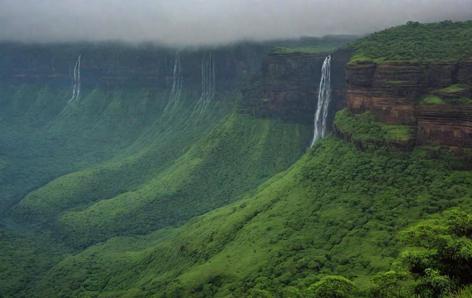
Trail access · Maharashtra
Lonavala Sahyadri Trails
Check details before you travel or payRead disclaimerHide disclaimer
- Watch out: This trail is compiled from public sources and not verified by us — confirm access, safety and legality locally before you drive it. The access status, permits and open/closed details shown here are our reading of public and official information as of the last-checked date — not verified live by us and not a guarantee the route is open, legal or safe today. Rules, zones and fees change without notice, so always confirm current access with the Forest Department / landowner / local authority before you travel.
- No Tarmac is not affiliated with, authorised by, or endorsed by these trails unless expressly stated — trails names and trademarks belong to their respective owners. We are a discovery directory: inclusion does not mean a trail has been verified or endorsed by No Tarmac.
- Details are compiled from public sources, cross-checked and drafted with AI assistance, and reviewed before publishing — general info, not individually verified fact. Always confirm with the owner or official source before you visit, book or pay. How we build & check listings →
- Images marked AIare AI-generated / illustrative — not photography of the specific trail.
Current access
Access unverified
We could not confirm the legal access for this trail from an official source.
Access not verified. We could not confirm the legal access for this trail from an official source — it may be forest / permit-controlled or on private land. Do NOT assume it is open; confirm with the Forest Department / local authority before you drive. No formally notified sanctuary boundary could be confirmed for the Lonavala fort/lake driving areas (the often-cited ‘Rajmachi Wildlife Sanctuary’ is not confirmed in the official Forest-Dept registry). Much of the Pawna/Tungarli terrain is private farm/village land — lawful driving generally needs local landowner permission. Sahyadri monsoon (Jun–Sep) washes out tracks.
Seasonal or older closure information — Vinchu Kata (Scorpion's Tail), Lohgad. This is not treated as a current closure. Check the latest local or official access status before travelling.
Routes, drives & experiences here
- Open
Bhushi Dam & INS Shivaji road
Scenic drive
sealed hill roadThe core scenic road out of Lonavala runs past Lonavala Lake and Bhushi Dam to the INS Shivaji naval-engineering campus — the Indrayani-river masonry dam sits about 6 km from Lonavala station and is drivable right up to. Public tar road, no permit; it is monsoon-mobbed and the stepped spillway gets slippery and crowded, so park where marked and mind the water. State-transport buses run the INS Shivaji road.
Source: compiled from public information - Open
Tiger's Leap (Tiger Point) viewpoint drive
Viewpoint drive
sealed hill road to a cliff viewpointA clifftop about 8 km from Lonavala with a sheer drop of over 600 m across the Western Ghats. The road continues past Lonavala Lake, Bhushi Dam and INS Shivaji to the point; some sources say you can drive to the viewpoint, others that the last stretch is a short walk from the INS Shivaji stop — expect to leave the vehicle and finish on foot at busy times. The edge is unfenced with a long drop, so keep well back, especially in fog and after rain. Free to visit; small parking charge on site.
Source: compiled from public information - Open
Lion's Point drive (Amby Valley road)
Viewpoint drive
sealed hill roadA vantage point roughly midway between Bhushi Dam and Aamby Valley, reached by driving the Aamby Valley City road — an equally scenic run and a popular sunset/monsoon stop. Public road, no permit; it gets very crowded on weekends and in the monsoon, and the cliff edges are unfenced. Note Aamby Valley itself is a private township, so drive the public road and viewpoint, not into the estate.
Source: compiled from public information - Open
Rajmachi Point drive
Viewpoint drive
sealed roadA roadside viewpoint on the Lonavala side looking across to the Rajmachi forts — drivable and served by regular state-transport buses from the Lonavala bus stand. (This is the tarmac viewpoint near town, not the rough Rajmachi-fort village track from Kondivade, which is a separate rugged jeep/monsoon route best done with local knowledge.) Public road, no permit.
Source: compiled from public information - Open
Pawna Lake drive & lakeside camping
Camp / overnight
20 km mixed sealed + rough village roadsA dam-lake about 20 km from Lonavala, ringed by campsites and a popular overnight for the sunrise over the water. Two common approaches — the Kamshet/Pavananagar route and the Dudhiware Khind route — reachable by private vehicle with parking at the campsites; the Lonavala–Dudhiware stretch is reported to be in poor condition, so a higher-clearance vehicle helps. Public roads, no permit for the drive; camping is on operator/village land, so book a pitch rather than wild-camping and carry out your rubbish.
Source: compiled from public information
- RestrictedLohgad Fort trek— A steep ~1-hour stair climb (the 'iron fort', ~915 m) through four gateways — walking is the only way up. Free-to-enter and publicly accessible, but it is an ASI-protected monument (declared 1909) and part of the UNESCO Maratha Military Landscapes, so on-site signage and heritage-conservation rules apply. Given the UNESCO listing, confirm whether any group-trek permit or fee now applies before you go. Not a drive.
- Forest permitSudhagad (Bhorapgad) Fort trek— An older capital-fort about 26 km south of Lonavala, a 1–2 hour on-foot climb from Thakurwadi village. It sits inside the Sudhagad wildlife sanctuary (dense Sahyadri forest), so forest-department rules may apply and a local guide is worth it — confirm current access and any night-halt permission locally. Not a drive.
Open to all: Lonavala–Khandala roads & fort base drives · Visapur Fort trek · Bhaja & Bedse Buddhist caves — public access, no permit.
Not every access detail here is officially confirmed — some are compiled from public information. Always verify current permits and closures with the Forest Department / governing authority before you go.
Data & verification
Access info verified from official sources · last checked 18 Aug 2026
Official resources — verify access & permits here
- Maharashtra Forest Department — find the local DFO / Range Office / Wildlife Warden contact
- Search: “Maharashtra Forest Department DFO office contact” for the range office nearest the trail.
- Emergency: 112 (India’s national emergency number). Find the local forest control-room / DFO number on the department site above.
Rules, permits and closures change and vary by exact location. Always confirm access with the Forest Department / government department that governs this trail before you drive — the resources above are guidance, not permission.
Sources & attribution5 sources
This page was prepared using public and official sources. Sources are provided for transparency and verification. Attribution is provided where required by the applicable source licence. Source attribution does not imply affiliation, sponsorship or endorsement.