Trail access · Maharashtra
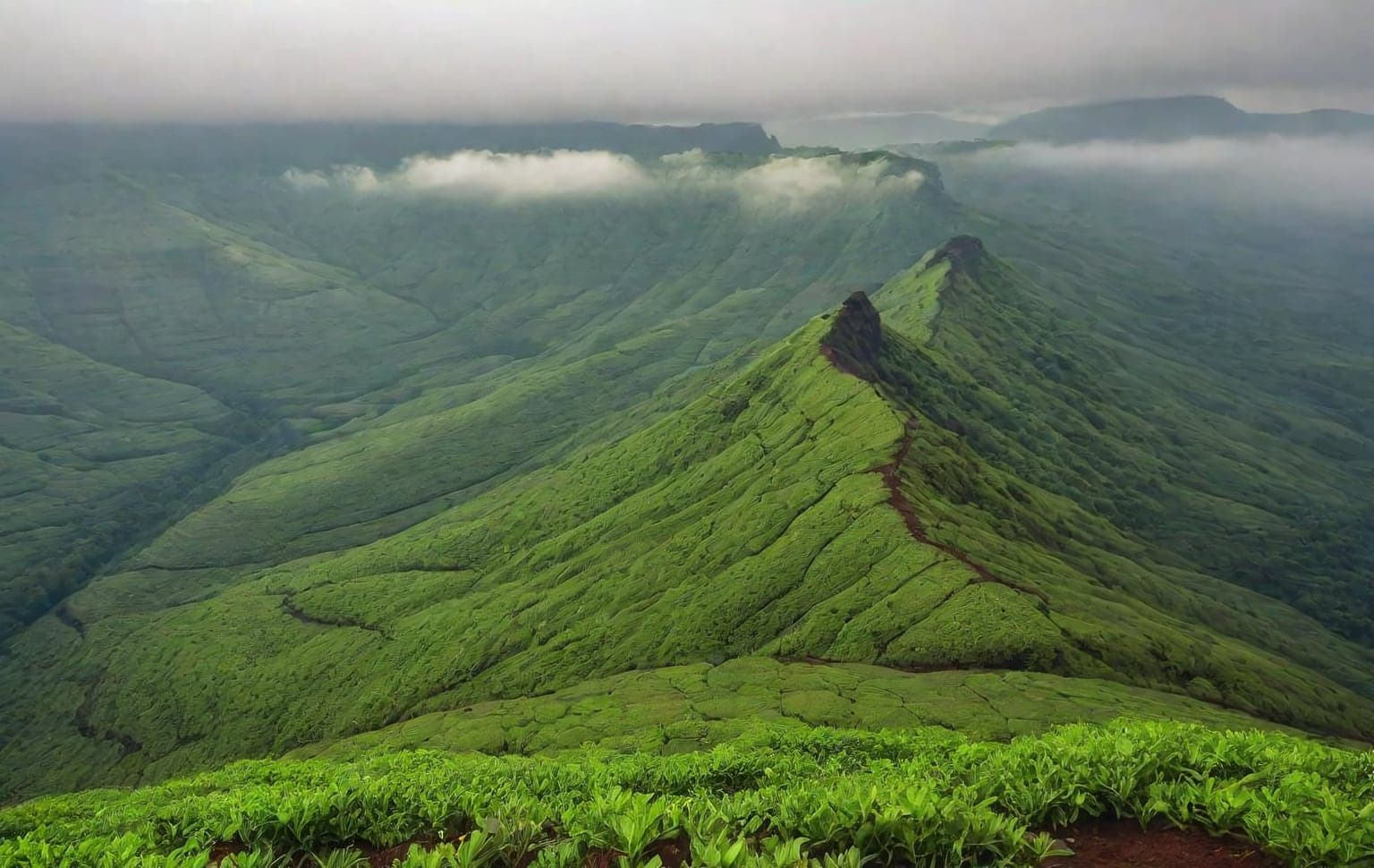
Mahabaleshwar Plateau
Check details before you travel or payRead disclaimerHide disclaimer
- Watch out: This trail is compiled from public sources and not verified by us — confirm access, safety and legality locally before you drive it. The access status, permits and open/closed details shown here are our reading of public and official information as of the last-checked date — not verified live by us and not a guarantee the route is open, legal or safe today. Rules, zones and fees change without notice, so always confirm current access with the Forest Department / landowner / local authority before you travel.
- No Tarmac is not affiliated with, authorised by, or endorsed by these trails unless expressly stated — trails names and trademarks belong to their respective owners. We are a discovery directory: inclusion does not mean a trail has been verified or endorsed by No Tarmac.
- Details are compiled from public sources, cross-checked and drafted with AI assistance, and reviewed before publishing — general info, not individually verified fact. Always confirm with the owner or official source before you visit, book or pay. How we build & check listings →
- Images marked AIare AI-generated / illustrative — not photography of the specific trail.
Current access
Access unverified
We could not confirm the legal access for this trail from an official source.
Access not verified. We could not confirm the legal access for this trail from an official source — it may be forest / permit-controlled or on private land. Do NOT assume it is open; confirm with the Forest Department / local authority before you drive. Mahabaleshwar’s town and estate roads are public/private. The Koyna Wildlife Sanctuary / Sahyadri Tiger Reserve is a SEPARATE protected area ~25 km away — do not drive into IT without Maharashtra Forest Dept permission — but it does not govern the plateau itself. We have NOT verified any permit requirement for the Mahabaleshwar trail — treat as unverified and confirm access locally. Extreme monsoon rainfall/closures Jun–Sep. Altitude ~1,353 m.
Seasonal or older closure information — Monsoon landslide-prone stretches. This is not treated as a current closure. Check the latest local or official access status before travelling.
Routes, drives & experiences here
- Open
Viewpoints circuit (Bombay/Sunset, Elphinstone, Kate's, Lodwick, Babington, Wilson)
Scenic drive
sealed hill roadThe classic drive between the plateau's clifftop points — sunrise from Wilson Point (~1,439 m, the plateau's highest), sunsets from Bombay Point, and valley-and-ridge views from Kate's, Lodwick, Babington and Elphinstone. Individual points keep daytime hours (roughly 6 AM–6 PM). Guard food and belongings from bold macaques at every stop.
Source: compiled from public information - Open
Arthur's Seat & Elephant's Head Point
Viewpoint drive
sealed hill roadA drive to the western clifftop viewpoints — Arthur's Seat at a road dead-end and the overhanging Elephant's Head (Needle's Point). Parking at Arthur's Seat is extremely tight in peak season, so park at Savitri Point about 300 m away and walk the last stretch, passing Castle Rock and other points along the way. Open roughly 6 AM–6 PM.
Source: compiled from public information - Open
Tapola drive
Scenic drive
50 km sealed hill roadA scenic run about 30 km out to the lakeside spot of Tapola for boating, with viewpoints and strawberry farms along the way.
Source: compiled from public information - Open
Pratapgad Fort drive & trek
Viewpoint drive
sealed hill roadA hilltop Maratha fort built by Chhatrapati Shivaji, site of the 1659 Battle of Pratapgad and now part of the UNESCO-listed Maratha Military Landscape. Reached by road with commanding views; there are trekking routes on the hill. Respect heritage-conservation rules on site.
Source: compiled from public information
Open to all: Mahabaleshwar plateau roads · Lingmala Falls trek — public access, no permit.
Data & verification
Official resources — verify access & permits here
- Maharashtra Forest Department — find the local DFO / Range Office / Wildlife Warden contact
- Search: “Maharashtra Forest Department DFO office contact” for the range office nearest the trail.
- Emergency: 112 (India’s national emergency number). Find the local forest control-room / DFO number on the department site above.
Rules, permits and closures change and vary by exact location. Always confirm access with the Forest Department / government department that governs this trail before you drive — the resources above are guidance, not permission.
Sources & attribution1 source
This page was prepared using public and official sources. Sources are provided for transparency and verification. Attribution is provided where required by the applicable source licence. Source attribution does not imply affiliation, sponsorship or endorsement.