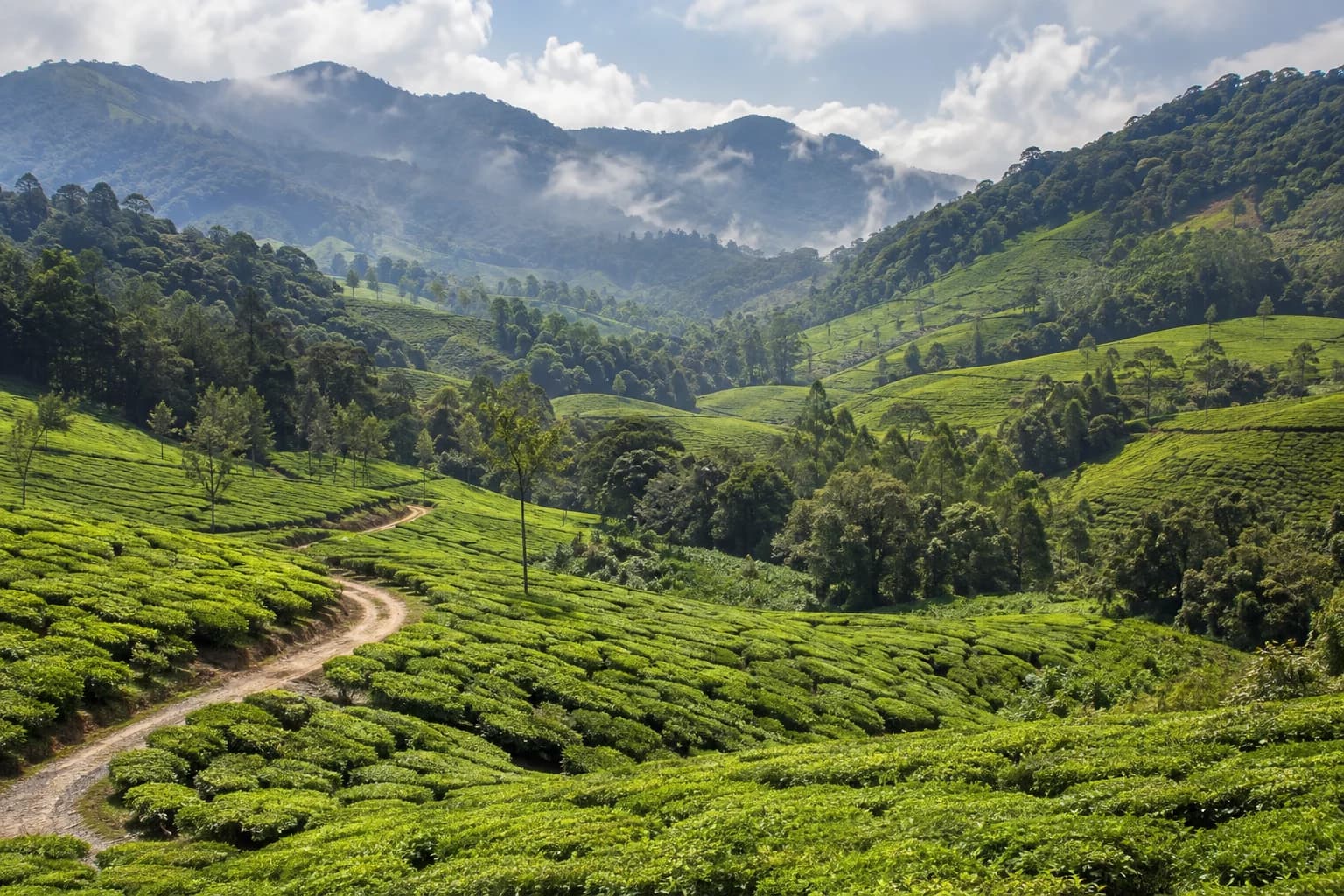
Trail access · Kerala
Munnar
Check details before you travel or payRead disclaimerHide disclaimer
- Watch out: The access status, permits and open/closed details shown here are our reading of public and official information as of the last-checked date — not verified live by us and not a guarantee the route is open, legal or safe today. Rules, zones and fees change without notice, so always confirm current access with the Forest Department / landowner / local authority before you travel.
- No Tarmac is not affiliated with, authorised by, or endorsed by these trails unless expressly stated — trails names and trademarks belong to their respective owners. We are a discovery directory: inclusion does not mean a trail has been verified or endorsed by No Tarmac.
- Details are compiled from public sources, cross-checked and drafted with AI assistance, and reviewed before publishing — general info, not individually verified fact. Always confirm with the owner or official source before you visit, book or pay. How we build & check listings →
- Images marked AIare AI-generated / illustrative — not photography of the specific trail.
Current access
Caution
The main approach is open, but some places inside are restricted or have a reported closure.
Seasonal or older closure information — Eravikulam breeding-season closure. This is not treated as a current closure. Check the latest local or official access status before travelling.
Routes, drives & experiences here
- Open
Kochi–Munnar ghat drive
Scenic drive
sealed ghat road (narrow, twisty)The classic tea-country approach up the Western Ghats — for Munnar the drive up is as much the draw as the town itself, climbing through plantations that open out in the last ~22 km. Off high stretches by around 4 PM as fog closes in; inexperienced hill drivers should use a local driver.
Source: compiled from public information - Open
Top Station viewpoint drive
Viewpoint drive
37 km sealed hill roadA high viewpoint on the Kerala–Tamil Nadu border about 37 km out, famous for above-the-clouds Western Ghats panoramas. Aim to be off this high stretch by around 4 PM before the fog sets in.
Source: compiled from public information - Open
Mattupetty & Kundala drive
Scenic drive
sealed hill roadDam-and-lake picnic country roughly 10–23 km from town — boating, grasslands and shola forest good for birding and short treks. Freely accessible tea-country roads.
Source: compiled from public information - Open
Kolukkumalai Tea Estate track
Off-road trail
rough unpaved trackOne of the world's highest orthodox tea factories at about 2,175 m, reached by a rough track — a rewarding drive for a capable vehicle, with superb Ghat views.
Source: compiled from public information - Forest permit
Eravikulam National Park (Rajamala) & Anamudi
Jeep safari
The signature reserve protecting the endangered Nilgiri tahr and home to Anamudi (2,695 m, the highest peak south of the Himalayas). Access is by park bus on a ticket (Indian/foreigner tariffs plus camera fee) — buy at the counter or online and arrive early. Going up to the actual Anamudi summit needs special forest-department permission; general visitors walk only a short marked stretch. Fees are set by the Kerala Forest Department and revised periodically — check the live tariff on the official portal.
Source: compiled from public information
- Forest permitChinnar Wildlife Sanctuary & shola-forest treks— Chinnar Wildlife Sanctuary and forest treks such as Mannavan Shola have their own entry fees and check-posts, set by the Kerala Forest Department. On-foot forest walks (not drives) — confirm the live tariff and access on the official portal before you go.
Open to all: Munnar town, tea-estate roads & the ghat approach — public access, no permit.
Not every access detail here is officially confirmed — some are compiled from public information. Always verify current permits and closures with the Forest Department / governing authority before you go.
Data & verification
Access info verified from official sources · last checked 18 Aug 2026
Official resources — verify access & permits here
- Kerala Forest & Wildlife Department — find the local DFO / Range Office / Wildlife Warden contact
- Search: “Kerala Forest Department DFO office contact” for the range office nearest the trail.
- Emergency: 112 (India’s national emergency number). Find the local forest control-room / DFO number on the department site above.
Rules, permits and closures change and vary by exact location. Always confirm access with the Forest Department / government department that governs this trail before you drive — the resources above are guidance, not permission.
Sources & attribution1 source
This page was prepared using public and official sources. Sources are provided for transparency and verification. Attribution is provided where required by the applicable source licence. Source attribution does not imply affiliation, sponsorship or endorsement.