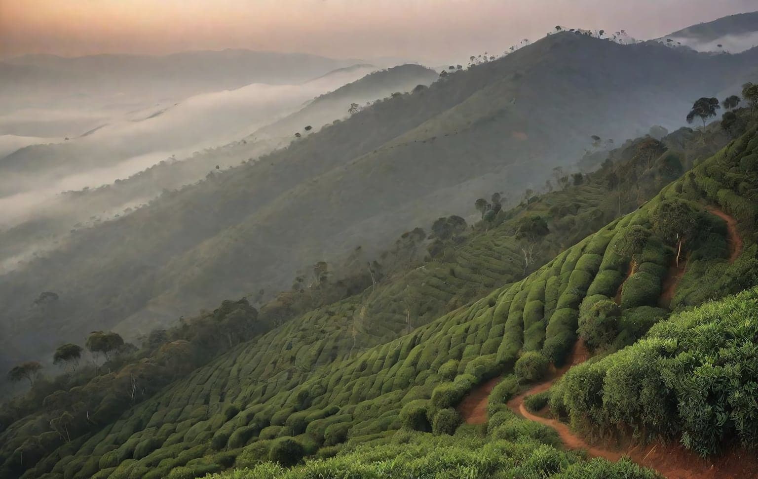
Trail access · Tamil Nadu
Ooty & the Nilgiris
Check details before you travel or payRead disclaimerHide disclaimer
- Watch out: The access status, permits and open/closed details shown here are our reading of public and official information as of the last-checked date — not verified live by us and not a guarantee the route is open, legal or safe today. Rules, zones and fees change without notice, so always confirm current access with the Forest Department / landowner / local authority before you travel.
- No Tarmac is not affiliated with, authorised by, or endorsed by these trails unless expressly stated — trails names and trademarks belong to their respective owners. We are a discovery directory: inclusion does not mean a trail has been verified or endorsed by No Tarmac.
- Details are compiled from public sources, cross-checked and drafted with AI assistance, and reviewed before publishing — general info, not individually verified fact. Always confirm with the owner or official source before you visit, book or pay. How we build & check listings →
- Images marked AIare AI-generated / illustrative — not photography of the specific trail.
Current access
Caution
The main approach is open, but some places inside are restricted or have a reported closure.
Routes, drives & experiences here
- Open
Doddabetta Peak drive
Viewpoint drive
sealed hill roadAt 2,623 m the highest peak in the Nilgiris, about 8–10 km from town, with a tower telescope house and panoramas toward the Coimbatore plains. It is a wildlife zone reachable only by vehicle — trekking on the peak is prohibited.
Source: compiled from public information - Open
Pykara falls & dam drive
Scenic drive
sealed hill roadAbout 19 km out, the Pykara river drops through a series of cascades (the last two around 55 m and 61 m), with boating on the dam. A pleasant lakes-and-falls drive from town.
Source: compiled from public information - Restricted
Masinagudi / Kalhatti forest road through Mudumalai
Scenic drive
narrow steep forest roadThe shorter Bangalore diversion via Masinagudi and Kalhatti is a narrow, steep jungle road that is currently closed to tourist/non-local vehicles all day (2026 Nilgiris district measure — reroute via Gudalur; confirm current status); also currently closed to tourist/non-local vehicles all day (2026 Nilgiris district measure — reroute via Gudalur; confirm current status); also currently closed to tourist/non-local vehicles all day (2026 Nilgiris district measure — reroute via Gudalur; confirm current status); also closed at night through Mudumalai. Plan to be through the forest stretches in daylight; a fuel station and eateries are at Masinagudi. Confirm the current night-closure window locally.
Source: compiled from public information - Forest permit
Mudumalai National Park & Tiger Reserve
Jeep safari
About 31 km out — India's first wildlife sanctuary (1940) — with its own entry, timings and check-posts. Enter on an official safari with Forest Department permits, not by driving in unpermitted. Confirm current entry and safari timings on the official Tamil Nadu Forest Department portal.
Source: compiled from public information - Open
Coonoor & Kotagiri drive
Scenic drive
sealed hill roadSmaller Nilgiri towns under an hour away — Coonoor (~19 km) for tea estates and the toy-train section, Kotagiri (~30 km) for the Kodanad viewpoint. Off the beaten path, same cool climate, freely drivable.
Source: compiled from public information
- Forest permitAvalanche & Emerald reserve-forest treks— Quieter lakes for day picnics and short treks — a marked ~3 km walk reaches the Toda hamlet of Mullimunth (about 5 hours through woods and streams). Much of the Nilgiris is reserved forest inside the Nilgiri Biosphere Reserve, and forest-department permits are needed to camp at non-designated sites — do not bush-camp without one.
Open to all: Ooty town, tea-estate roads & ghat approaches — public access, no permit.
Not every access detail here is officially confirmed — some are compiled from public information. Always verify current permits and closures with the Forest Department / governing authority before you go.
Data & verification
Access info verified from official sources · last checked 18 Aug 2026
- Tamil Nadu Forest Department — Tiger Reserves (Mudumalai; no private vehicles inside)
- Nilgiris District Administration, Government of Tamil Nadu
Official resources — verify access & permits here
- Tamil Nadu Forest Department — find the local DFO / Range Office / Wildlife Warden contact
- Search: “Tamil Nadu Forest Department DFO office contact” for the range office nearest the trail.
- Emergency: 112 (India’s national emergency number). Find the local forest control-room / DFO number on the department site above.
Rules, permits and closures change and vary by exact location. Always confirm access with the Forest Department / government department that governs this trail before you drive — the resources above are guidance, not permission.
Sources & attribution1 source
This page was prepared using public and official sources. Sources are provided for transparency and verification. Attribution is provided where required by the applicable source licence. Source attribution does not imply affiliation, sponsorship or endorsement.