Trail access · Kerala
Parunthumpara (Eagle Rock)
Check details before you travel or payRead disclaimerHide disclaimer
- Watch out: The access status, permits and open/closed details shown here are our reading of public and official information as of the last-checked date — not verified live by us and not a guarantee the route is open, legal or safe today. Rules, zones and fees change without notice, so always confirm current access with the Forest Department / landowner / local authority before you travel.
- No Tarmac is not affiliated with, authorised by, or endorsed by these trails unless expressly stated — trails names and trademarks belong to their respective owners. We are a discovery directory: inclusion does not mean a trail has been verified or endorsed by No Tarmac.
- Details are compiled from public sources, cross-checked and drafted with AI assistance, and reviewed before publishing — general info, not individually verified fact. Always confirm with the owner or official source before you visit, book or pay. How we build & check listings →
- Images marked AIare AI-generated / illustrative — not photography of the specific trail.
Current access
Open
Public approach roads here are currently listed as accessible.
Routes, drives & experiences here
- Open
Peermade → Eagle Rock rough climb
Off-road trail
6 km steep, rough hill road (unsealed)The final approach: leave NH 220 near Peermade and grind up a rough, steep hill road — not a sealed highway — for about 6 km to the clifftop. High-clearance is comfortable for the climb; drive it slowly and take extra care when wet or when mist rolls in. No ticket or permit is documented for the approach; the top is unmanned.
Source: compiled from public information - Open
Eagle Rock viewpoint (clifftop)
Viewpoint drive
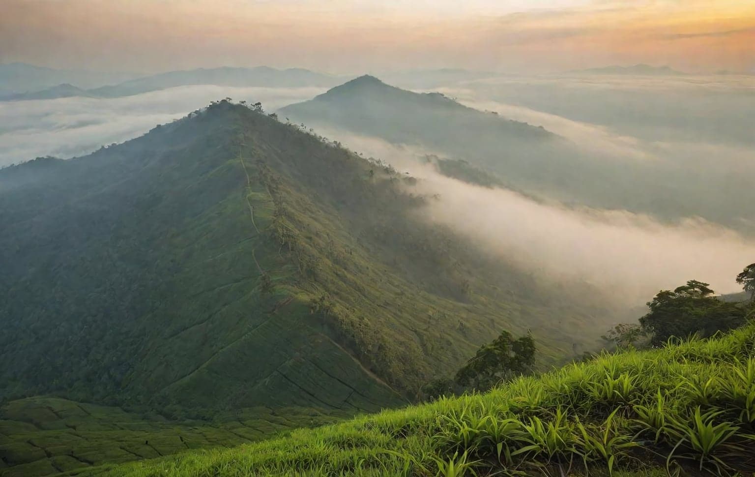
open, unfenced clifftop meadowAn open public viewpoint at roughly 4,700 ft — a rock shaped like an eagle in flight, with sweeping views over meadows, valleys and mist, the Azhutha river below and the Sabarimala forest visible on a clear day. The clifftop is open and unfenced (locally called 'Suicide Point'), so stay well back from the edge, especially in wind or mist. Kerala's DTPC has proposed a protective wall and parking — conditions may change; confirm the latest with Kerala Tourism / DTPC Idukki.
Source: compiled from public information
Open to all: Peermade estate roads & NH 220 — public access, no permit.
Data & verification
Access info verified from official sources · last checked 18 Aug 2026
- Kerala Tourism, Government of Kerala — Parunthumpara / Eagle Rock, Peerumedu
- Kerala Tourism (destination page) — Grampi / Eagle Rock, Peerumedu, Idukki
Official resources — verify access & permits here
- Kerala Forest & Wildlife Department — find the local DFO / Range Office / Wildlife Warden contact
- Search: “Kerala Forest Department DFO office contact” for the range office nearest the trail.
- Emergency: 112 (India’s national emergency number). Find the local forest control-room / DFO number on the department site above.
Rules, permits and closures change and vary by exact location. Always confirm access with the Forest Department / government department that governs this trail before you drive — the resources above are guidance, not permission.
Sources & attribution2 sources
This page was prepared using public and official sources. Sources are provided for transparency and verification. Attribution is provided where required by the applicable source licence. Source attribution does not imply affiliation, sponsorship or endorsement.
- Kerala Tourism (Govt of Kerala) — Parunthumpara / Eagle RockOfficial source
- Kerala Tourism (Govt of Kerala) — ParunthumparaOfficial source