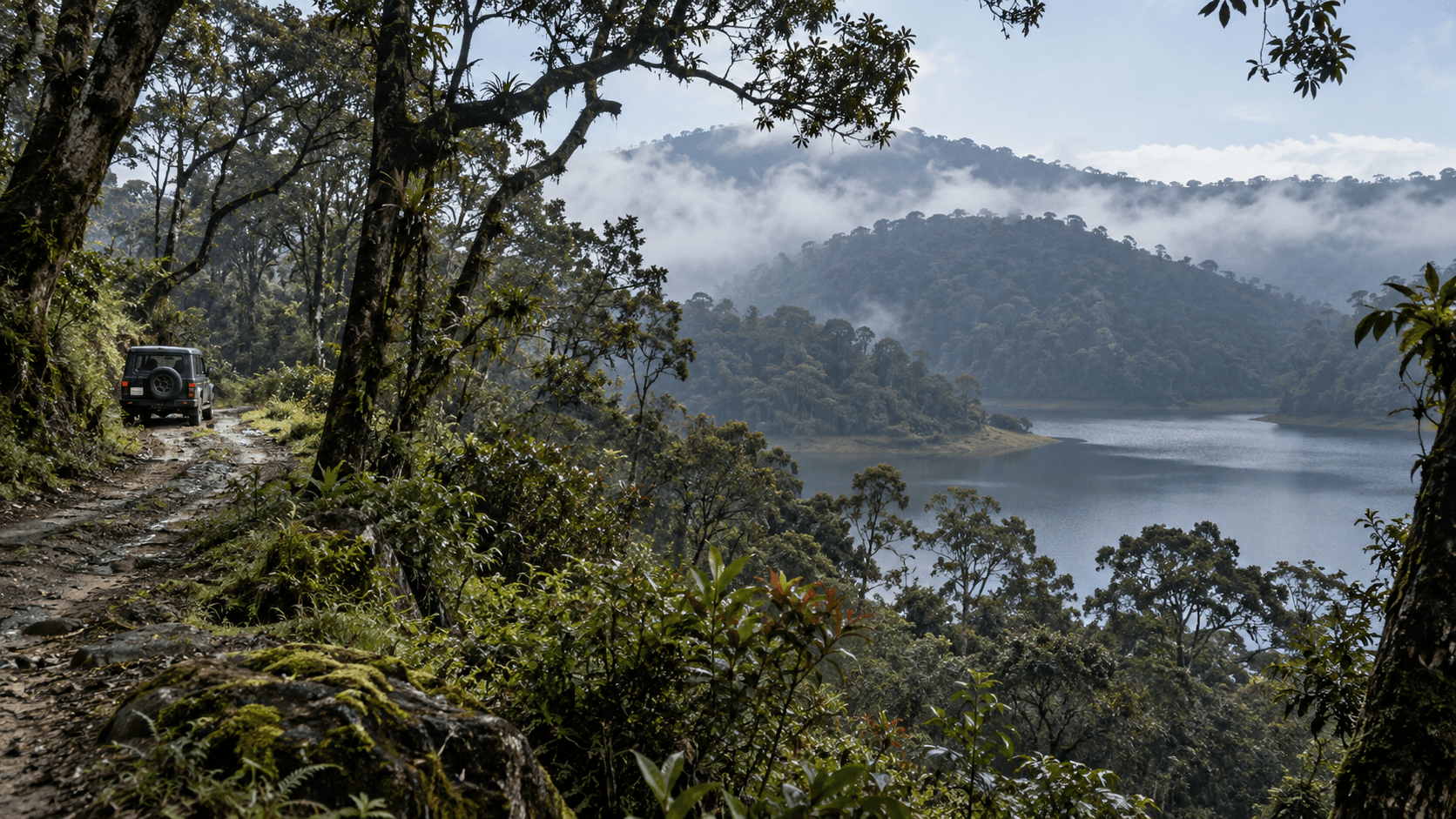
 AI · representation only
Tamil Nadu
Off-Road & 4x4 Trails in Tamil Nadu
19 trails in Tamil Nadu.
19
Trails
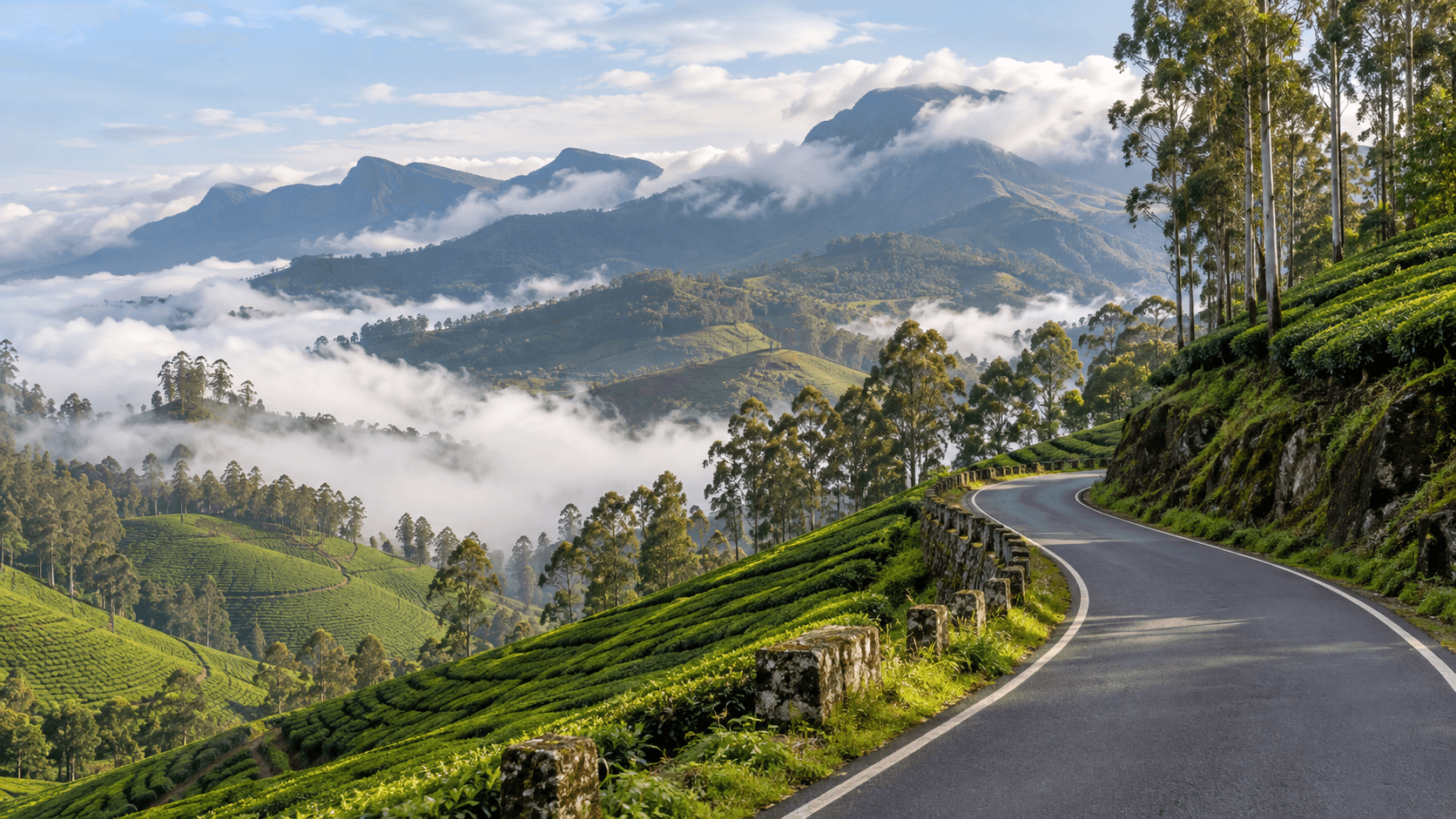
Geddai, also written Gethai, is a scenic route in the Nilgiris with mountain views, water bodies and quiet forest surroundings. Confirm road conditions and local access before travelling.
moderate · narrow mountain roads with forest and water-side sections terrain
Nilgiris
Scenic driveModerate Verify access
Geddai (Gethai) scenic route
Nilgiris
narrow mountain roads with forest and water-side sections terrain
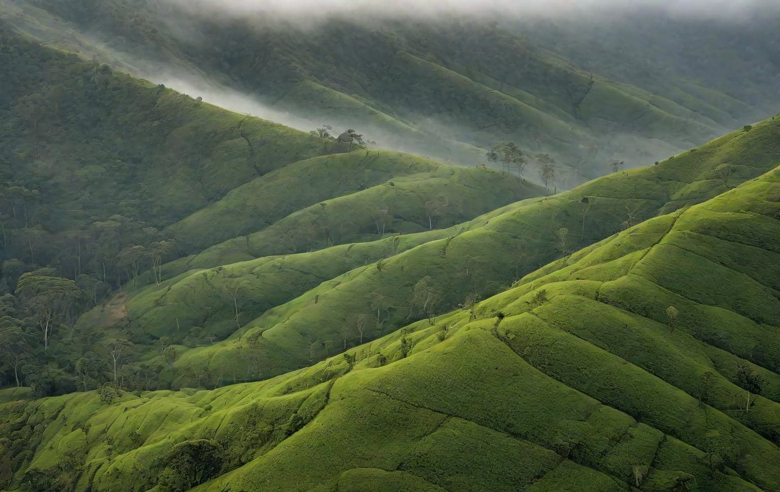
Genepool (Gene Pool) Ecotourism is a government-run eco-destination at Nadugani, near Gudalur in The Nilgiris, Tamil Nadu — in the Gudalur Forest Division within the wider Nilgiri Biosphere Reserve, near the Mudumalai Tiger Reserve. You reach it by a scenic ghat drive on the Gudalur–Ooty route via Nadugani Churam, then explore on foot and by a Forest-Department safari. The marquee Gene Pool nature trek (graded easy, ~8 km two-way through grassland and shola forest) and the Needle Rock viewpoint sit alongside a department-run off-road jeep safari to a forest waterfall, plus Tree-Hut cottages, a canopy zipline, an ecopark, aquarium and orchidarium. **Access:** The approach roads and Needle Rock viewpoint are public; the off-road safari runs on Forest-Department vehicles only (no private vehicles; Forest-Department vehicles only) and is booked through the department. It runs year-round — avoid peak summer (roughly March–April). **Best season:** post-monsoon to winter; open year-round.
easy · Grassland & shola forest, Ghat road terrain
Nadugani, Gudalur, The Nilgiris, Tamil Nadu
Easy Some areas need permits
Genepool Ecotourism (Nadugani)
Nadugani, Gudalur, The Nilgiris, Tamil Nadu
Grassland & shola forest, Ghat road terrain
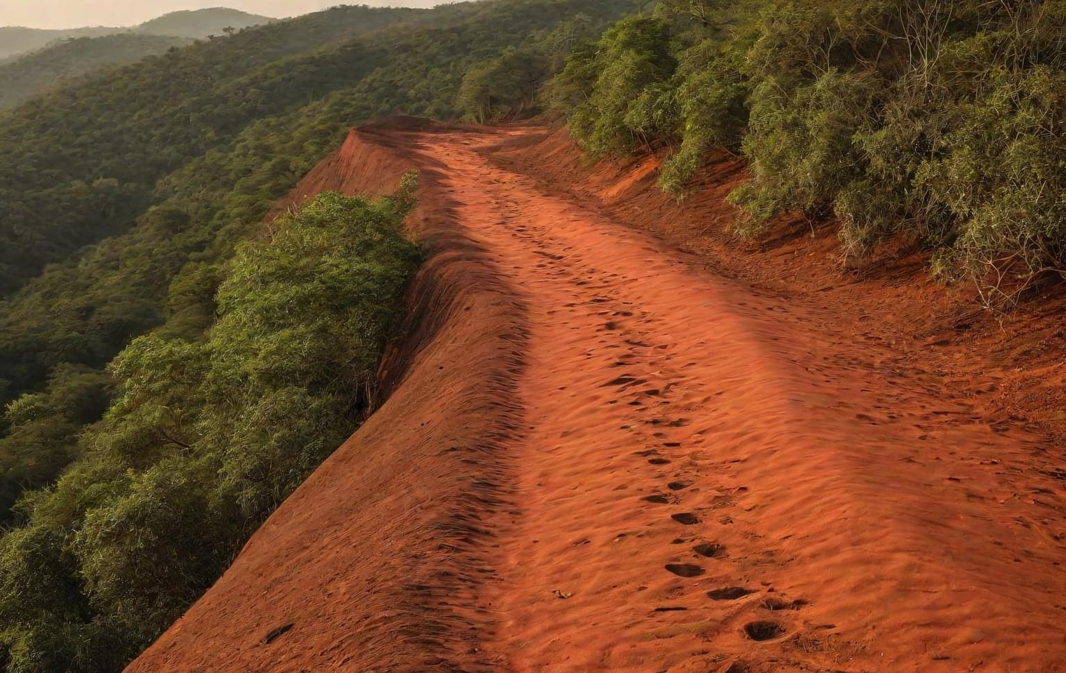
The Jawadhu (Javadi) Hills straddle the Tiruvannamalai and Tirupattur districts and remain one of the quieter off-road destinations in northern Tamil Nadu. Sparse traffic, sweeping viewpoints and red-earth forest tracks make it a relaxed weekend run for newer off-roaders building confidence. The trails are mostly hard-packed earth and loose gravel, with a few rutted sections that get greasy after rain. Nothing here is extreme, but the remoteness means self-reliance matters — help can be far away. Carry enough fuel and water for the day, tell someone your route, and avoid the trails immediately after heavy rain when the red soil turns slippery. **Best season:** October - March **Recommended tyre pressure:** 26-30 PSI **Preparation:** - Carry enough fuel and water for the full day - Share your route — the area is remote - Avoid the red-soil tracks right after heavy rain
moderate · Mud terrain
Tiruvannamalai, Tamil Nadu
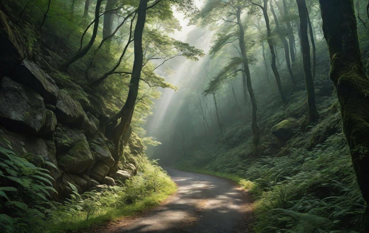
Kallaty Ghat is a steep, winding mountain road on the Masinagudi–Ooty route in the Nilgiris, known for its hairpin bends and challenging uphill drive. Check current road access and local restrictions before travelling.
moderate · steep paved ghat road with tight hairpin bends terrain
Nilgiris
Scenic driveModerate Verify access
Kallaty Ghat
Nilgiris
steep paved ghat road with tight hairpin bends terrain
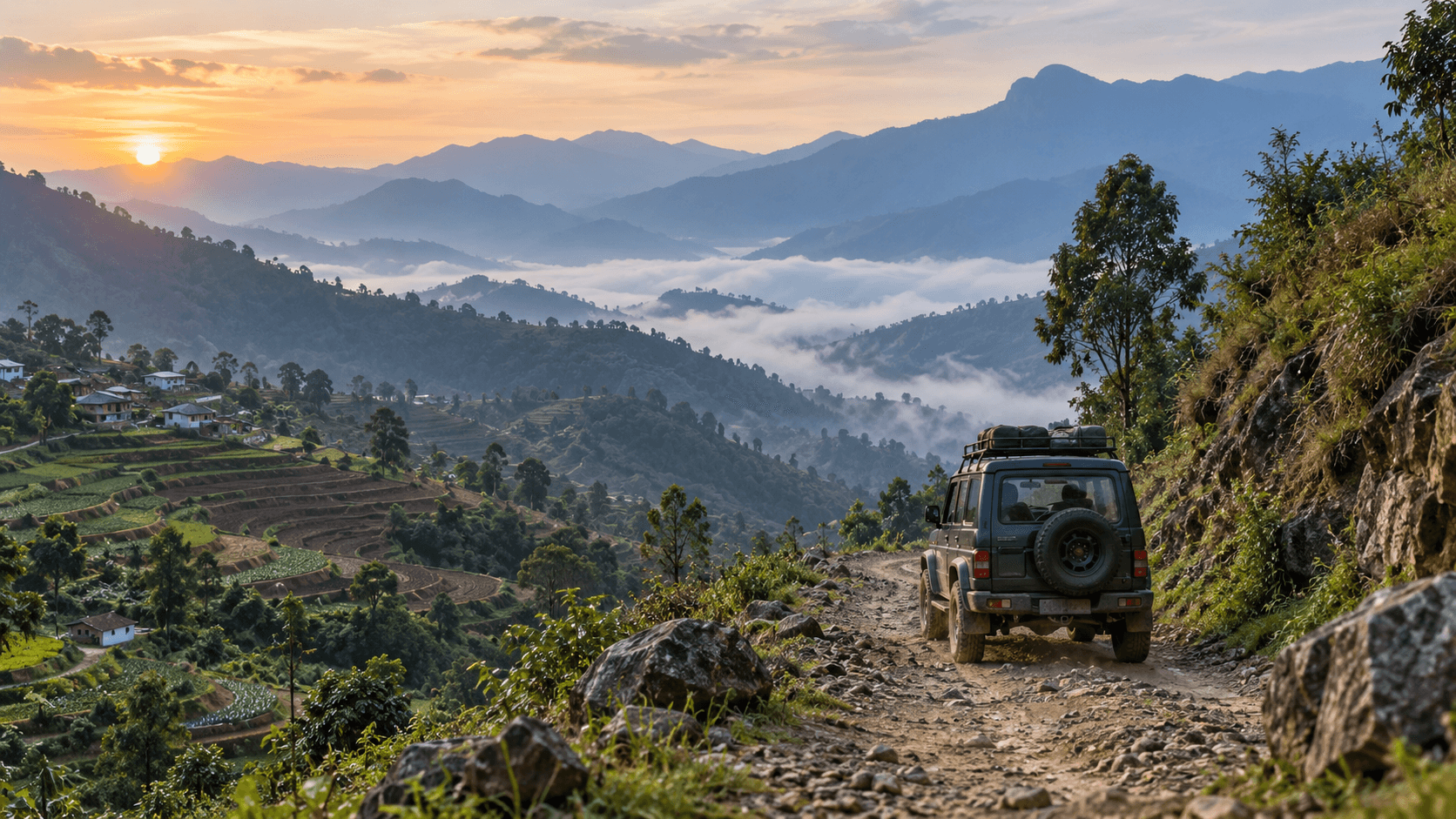
The Kavunji-Poombarai Trail is an 8 km one-way off-road route starting from Kavunji Village near Kodaikanal, Tamil Nadu. The trail is moderate in difficulty and requires a permit from the Forest Department, which must be obtained one day prior to the visit. A local guide is mandatory for this trail, and it is best attempted early in the morning during the months of September to February.
Kodaikanal
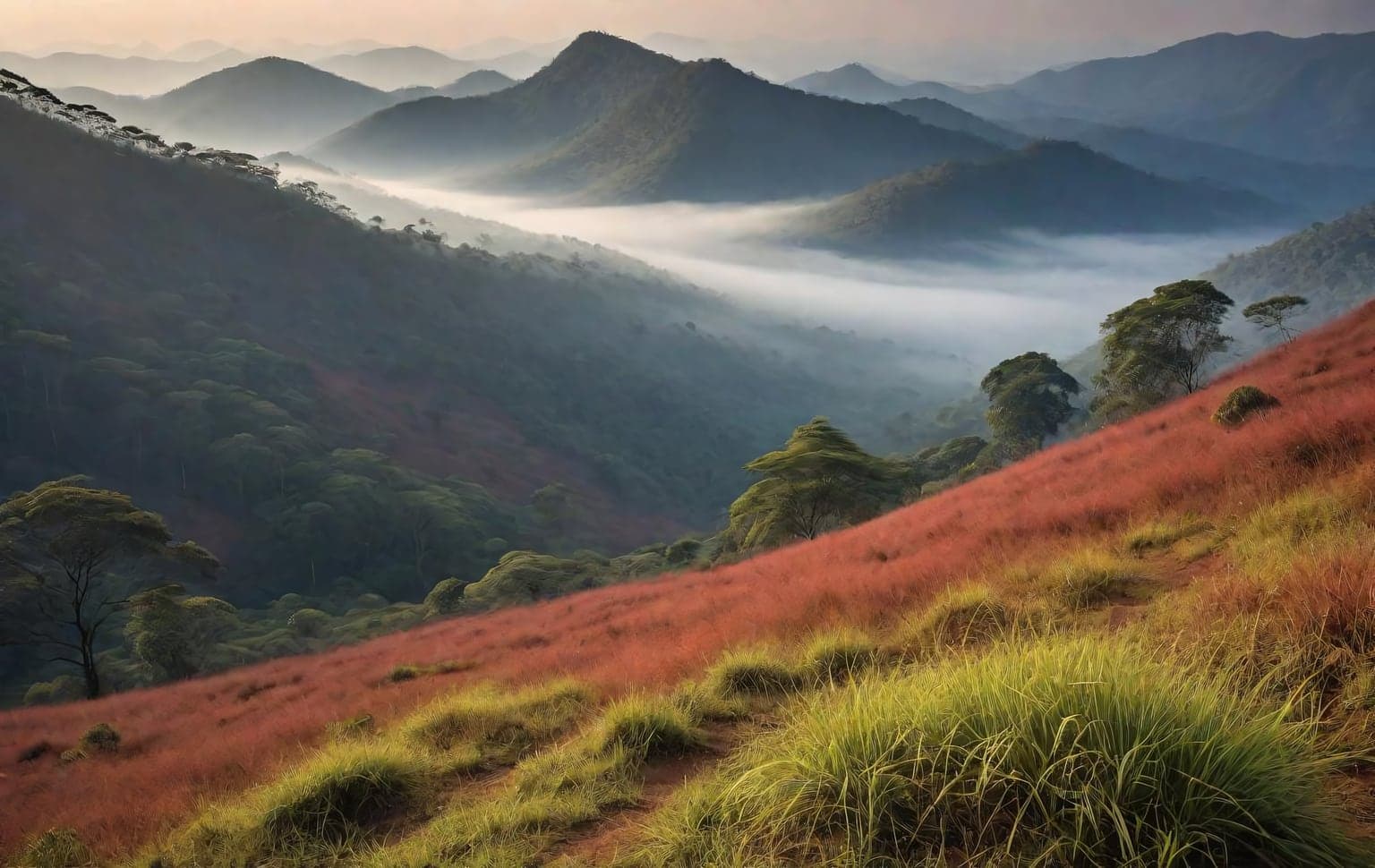
Kodaikanal sits above 2,000 m in the Palani Hills of Tamil Nadu, a patchwork of shola forest, grassland and coffee, pear and plantation estates wrapped in near-permanent mist. The off-road interest lies on the red-earth and rock estate tracks and the rough approaches to the lower viewpoints and waterfalls, where surfaces turn greasy and rutted once the cloud rolls in. Much of the high ground is reserved shola forest under the Tamil Nadu Forest Department, and driving a private vehicle into reserved forest without a written pass is illegal — keep to estate tracks you have the owner's permission to use and to public roads. Carry warm layers, refuel before you climb, and slow right down in the mist that can drop visibility to a few metres. **Best season:** September - March **Recommended tyre pressure:** 26-30 PSI **Preparation:** - Come in the dry months — these hill tracks are unsafe and often impassable in the monsoon - Stay on public roads and tracks you have permission for; much land here is private estate or protected forest - Carry fuel, water and recovery gear — services thin out above the town - Slow down in mist and watch for unguarded drops at the viewpoints
moderate · Mud, Rock terrain
Dindigul, Tamil Nadu
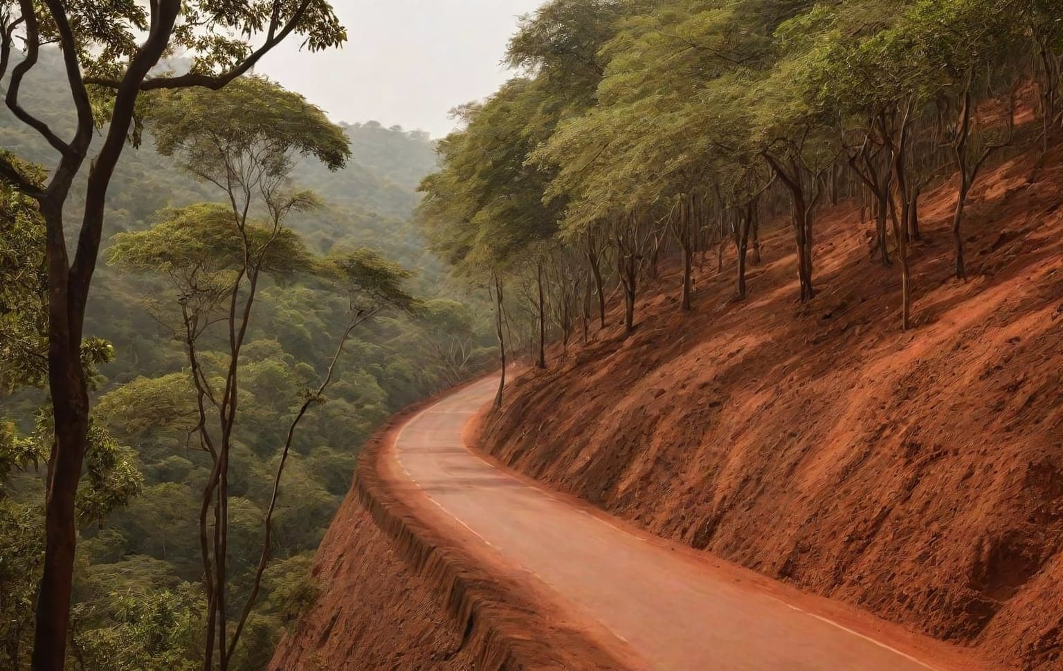
Kolli Hills, in the Eastern Ghats of Tamil Nadu, is legendary for the road of 70 hairpin bends that climbs to the plateau. Beyond the main ghat road, a network of forest and plantation tracks offers genuine off-road interest amid waterfalls, coffee and pepper estates — but many pass through reserved forest (Ariyur Solai, Kundur Nadu, Pulianjolai) under the Tamil Nadu Forest Department. Driving a private vehicle in reserved forest without a written pass from the Kolli Hills Range Forest Officer is illegal under the Indian Forest Act; stick to the main ghat road unless you hold one. The hairpins themselves are tarmac but demand confident hill-driving technique — tight radii, blind corners and steep gradients. The unsealed branches off the plateau bring loose rock, leaf litter and slick mud after rain, where all-terrain tyres and steady throttle control come into their own. Fuel and amenities are limited on the plateau, so top up before you climb. Drive the hairpins early to avoid bus traffic, and be cautious in the mist that often settles over the higher sections. **Best season:** October - March **Recommended tyre pressure:** 26-30 PSI **Preparation:** - Refuel before climbing — fuel is limited on the plateau - Drive the hairpins early to avoid bus traffic - Slow right down in mist on the higher sections - Carry warm layers; the plateau is cooler than the plains
moderate · Rock, Mud terrain
Namakkal, Tamil Nadu
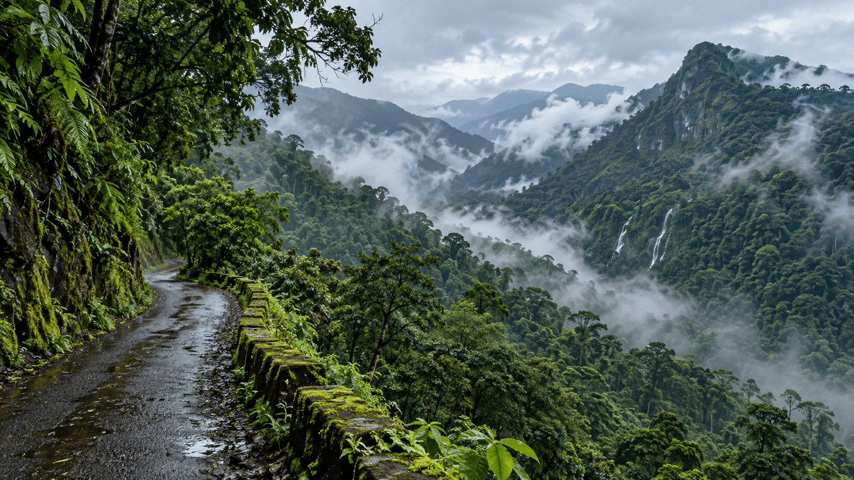
Mulli is a scenic mountain route in the Nilgiris, known for forested slopes, mist, streams and quiet drives. Roads are narrow in places; travel responsibly and confirm current access before setting out.
moderate · narrow forest and mountain roads terrain
Nilgiris
Scenic driveModerate Verify access
Mulli scenic route
Nilgiris
narrow forest and mountain roads terrain
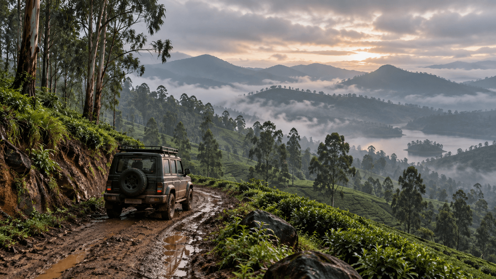
Ooty is the Nilgiris hill town used as the base for the scanned multi-stop itinerary. A specific route, its permitted sections, and current access still need independent confirmation.
Ooty, Nilgiris, Tamil Nadu
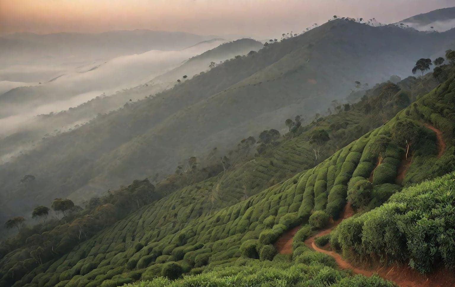
Udhagamandalam — Ooty — crowns the Nilgiri plateau at around 2,200 m, ringed by tea estates, eucalyptus and shola pockets and the high Doddabetta ridge. Off the main ghat roads, graded estate and plateau tracks give long, scenic drives over rolling tea country, with red laterite and gravel surfaces that get slick and rutted in the frequent mist and rain. The Nilgiris are a protected biosphere: large areas are reserved forest and wildlife habitat where private off-roading is restricted or banned, so stick to estate tracks you have permission for and to legal roads — never enter reserved forest or sanctuary land without a Forest Department pass. Conditions change fast with altitude and cloud; carry layers and fuel and keep speeds low on the blind, misty bends. **Best season:** September - March **Recommended tyre pressure:** 26-30 PSI **Preparation:** - Come in the dry months — these hill tracks are unsafe and often impassable in the monsoon - Stay on public roads and tracks you have permission for; much land here is private estate or protected forest - Carry fuel, water and recovery gear — services thin out above the town - Slow down in mist and watch for unguarded drops at the viewpoints
moderate · Mud, Gravel terrain
Nilgiris, Tamil Nadu
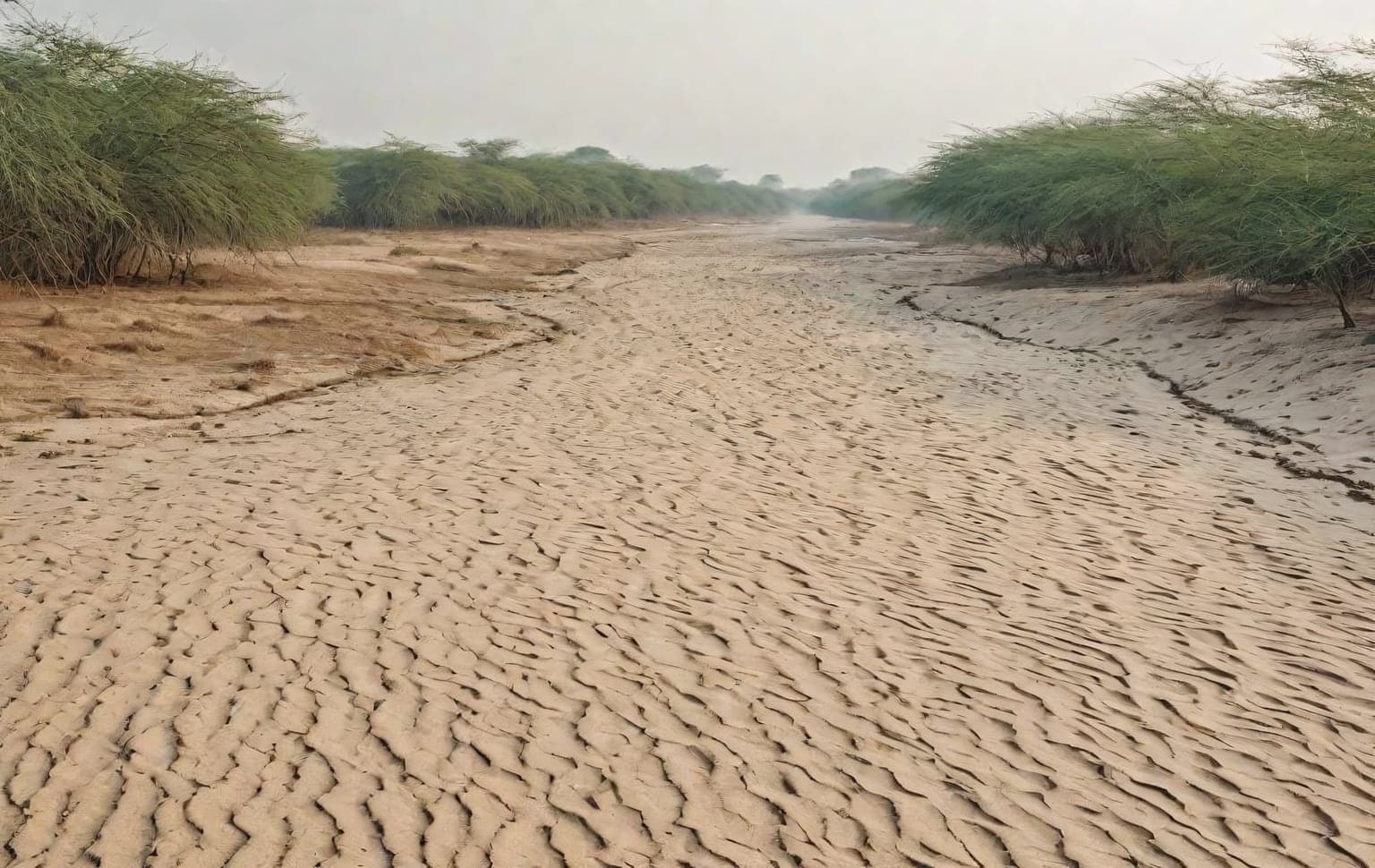
The Palar riverbed near Chennai is where most of Tamil Nadu's off-roaders cut their teeth. Wide, forgiving stretches of sand and shallow water crossings make it an ideal first trail — there is room to make mistakes, learn how your vehicle behaves on loose surfaces, and practise airing down without serious consequences. The terrain is mostly soft sand interspersed with shallow channels of water during and just after the monsoon. The key skill here is momentum management: keep a steady throttle, avoid sudden steering, and never stop on the softest patches. Because it is close to the city, it is also a popular weekend gathering point, so you will rarely be alone. Go in a group, air down to around 18-22 PSI before entering the sand, and carry a basic recovery kit. Treat the water crossings with respect — walk them first if you are unsure of the depth, especially after rain. Driving on the Palar riverbed is not automatically legal — it falls under Revenue/PWD jurisdiction and has been subject to Madras High Court and NGT controls. Get written clearance from the Chengalpattu District Collector's office and confirm no current court order restricts the stretch before you go; avoid any protected or restricted areas. **Best season:** November - February **Recommended tyre pressure:** 18-22 PSI **Preparation:** - Travel in a group of at least two vehicles - Air down to 18-22 PSI before entering the sand - Walk unfamiliar water crossings before driving them - Carry a recovery rope and traction boards
easy · Sand, Water Crossing terrain
Chengalpattu, Tamil Nadu
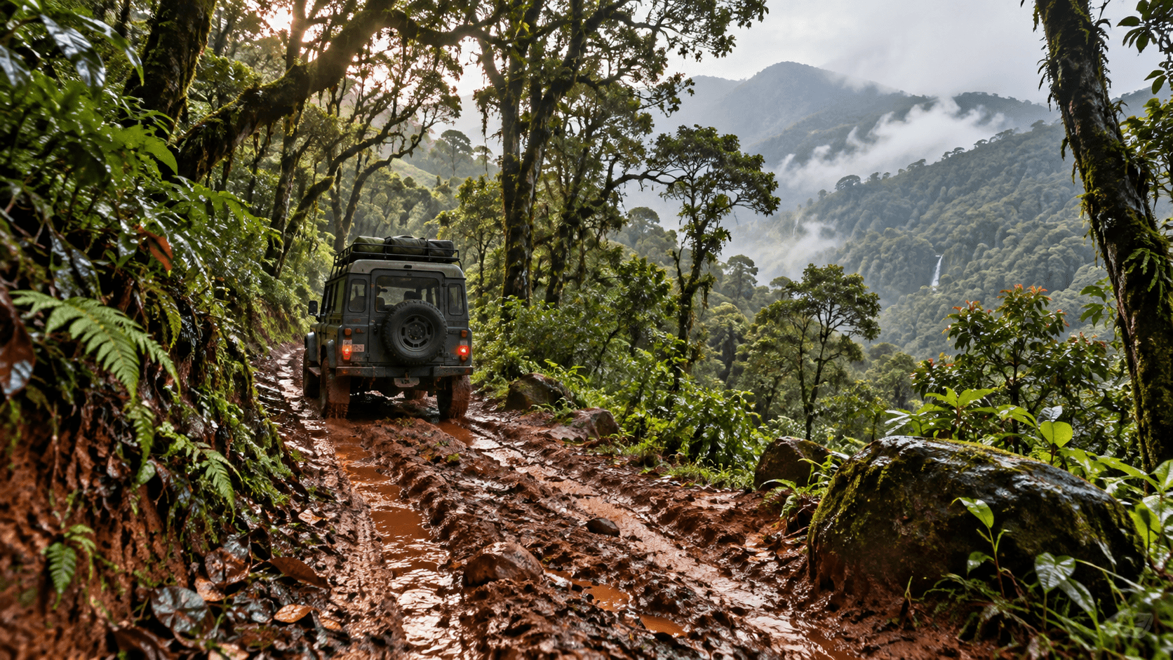
The Pambar Shola Trail is a hiking trail located near Poombarai road in Kodaikanal, Tamil Nadu. The trail is approximately 5 km long and ranges from easy to moderate difficulty, requiring a forest department permit obtained from the Kodaikanal Forest Range Office one day prior to the hike. A local guide is mandatory for this trail, and it is best undertaken early in the morning during the months of October to March.
Kodaikanal
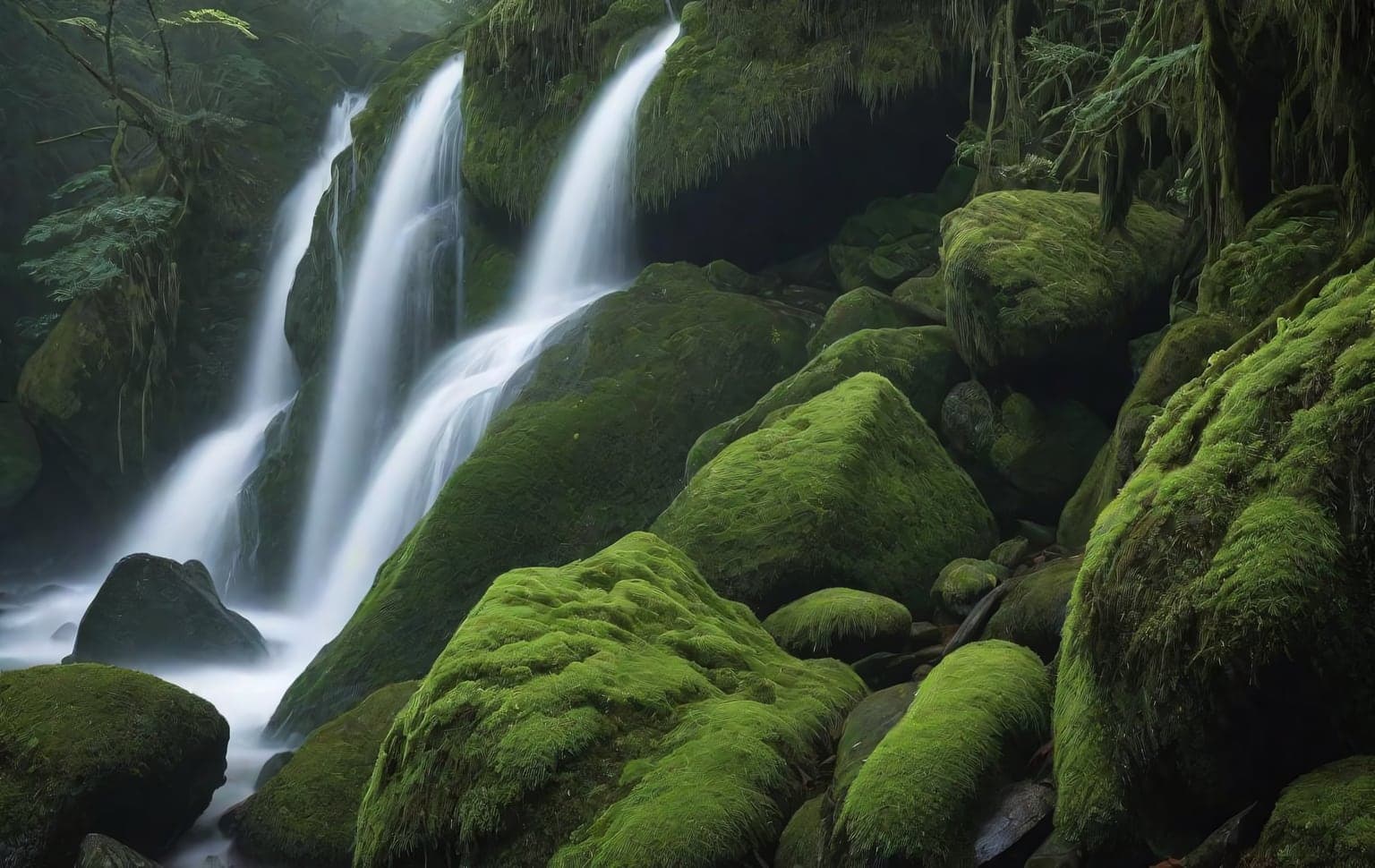
Pepper Falls off-road trail near Kodaikanal (Dindigul district, Tamil Nadu, Western Ghats). A short stretch of made road leads to the point where the local jeeps wait; from there the off-road section begins. The GPS track on this page covers ~16 km of that off-road stretch — the full run out to the film “shooting point”, Seras Cafe and the viewpoints beyond can be around 35 km round trip. ⚠ Serious vehicle-damage risk. The Pallangi → Pepper Falls stretch is a very steep, rough descent — sharp rock, ruts and loose surface that can heavily damage underbody, tyres, suspension or worse if you get it wrong. Attempt only in a capable / modified 4x4 with an experienced driver and proper recovery gear — a stock vehicle will get damaged. Best done as a GUIDED jeep safari, not a solo self-drive. The terrain crosses plantation and forest-fringe land, and the local drivers know the route, the steep sections and the day’s conditions. Local jeep operators wait at the trailhead and typically charge from about ₹3,500 per jeep. Go with a group, book a local jeep safari, or take a local guide with you. Access & legality: parts of this route may cross reserved-forest / plantation land near the Kodaikanal hills, where entry can need permission or a Forest Department permit. Do not push past the established track into restricted forest. Confirm current access, routes and charges with the local jeep operators and, where relevant, the Forest Department before you go. Conditions and access can change.
extreme · 15.88 km · steep, rough, rocky descent (Pallangi → Pepper Falls) with high vehicle-damage risk terrain
Pepper Falls, near Kodaikanal, Dindigul, Tamil Nadu
Extreme Some areas need permits15.88 km
Pepper Falls Off-road Trail
Pepper Falls, near Kodaikanal, Dindigul, Tamil Nadu
steep, rough, rocky descent (Pallangi → Pepper Falls) with high vehicle-damage risk terrain
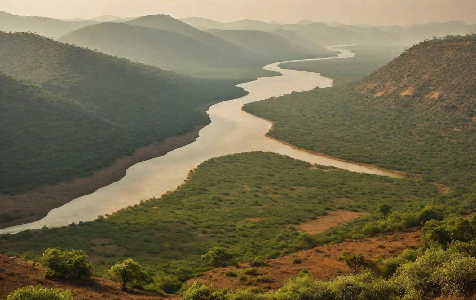
Sathanur Dam lies on the Thenpennai (Ponnaiyar) river in Tiruvannamalai district, surrounded by the dry hills and forest landscape of the Eastern Ghats. The approach includes the Sathanur Dam Road, portions of which pass through the Pennaiyar Reserved Forest. It makes a scenic rough-road drive for capable SUVs and 4x4s — though the main dam road is drivable by ordinary vehicles too — with the draw being the forest setting and the dam park (ornamental gardens and a crocodile farm). This is primarily a public/forest road rather than an unrestricted off-road area. Stay on the authorized roads and follow Forest Department and local access restrictions; do not drive cross-country through the reserved forest. Riverbed and dam-adjacent areas fall under Forest / PWD / dam-authority control and may close seasonally — confirm current access before you visit. **Best season:** November - February **Recommended tyre pressure:** 26-30 PSI (for the rough/unpaved sections) **Preparation:** - Stay on the authorized Sathanur Dam Road and forest roads — no cross-country driving - Confirm Forest-Department / dam-authority access before visiting - Carry recovery basics for the rough/unpaved sections - Pack out all litter — the reserved forest is ecologically sensitive
moderate · Water Crossing, Gravel terrain
Tiruvannamalai, Tamil Nadu
Moderate Some areas need permits
Sathanur Dam & Forest Roads
Tiruvannamalai, Tamil Nadu
Water Crossing, Gravel terrain
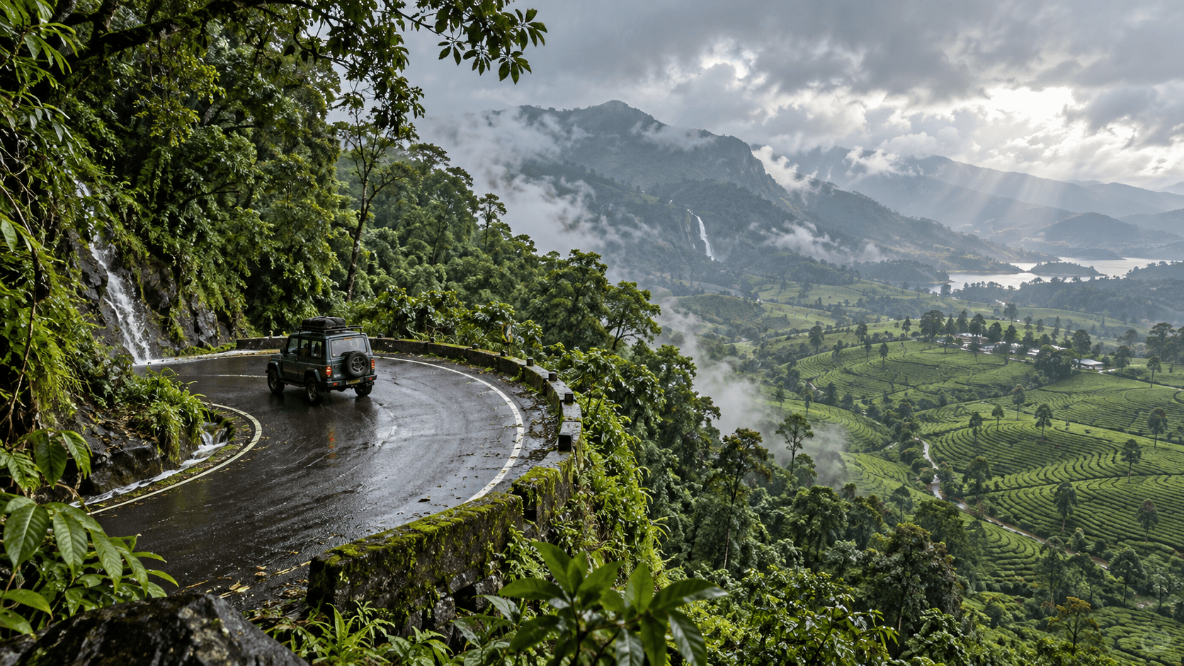
The Valparai Road Trip covers a total distance of approximately 261 kilometers, including segments from Palakkad to Athirappilly (87 km), Athirappilly to Pollachi (26 km), Pollachi to Vazhachal (71 km), and Vazhachal to Valparai (33 km). The route winds through forested hills and offers scenic views, with travel times ranging from 55 minutes to 2 hours and 10 minutes for the major segments.
Scenic driveDifficulty not rated Verify access
Valparai Road Trip
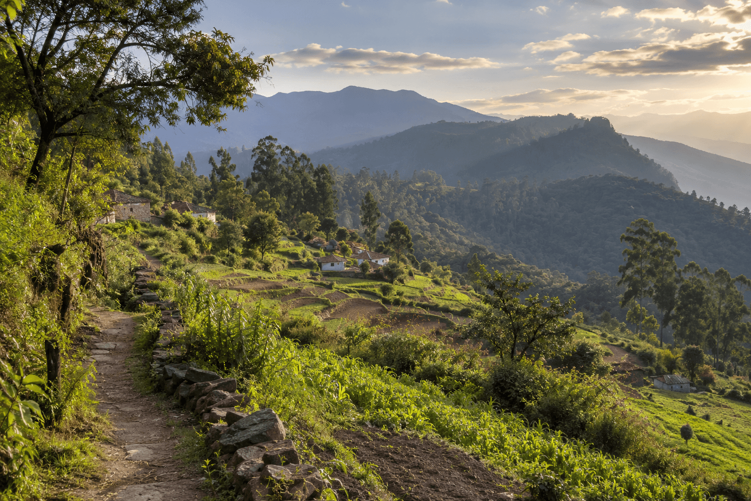
Vellagavi Village Trek is a walking route in the Kodaikanal hills. The details here refer to Trek Tamil Nadu's official Vattakanal–Vellagavi return alignment, which differs from the starting point and distance in the scanned post. The official route is moderate and totals 10 km (5 km each way), with a descent to the village and a return climb. Its programme includes a permit and guide service. This is a foot trek; confirm the current itinerary before booking.
moderate · 10 km · Forest footpath and hill savannah; descent and return ascent terrain
Kodaikanal
AdventureModerate Permit may apply10 km
Vellagavi Village Trek
Kodaikanal
Forest footpath and hill savannah; descent and return ascent terrain
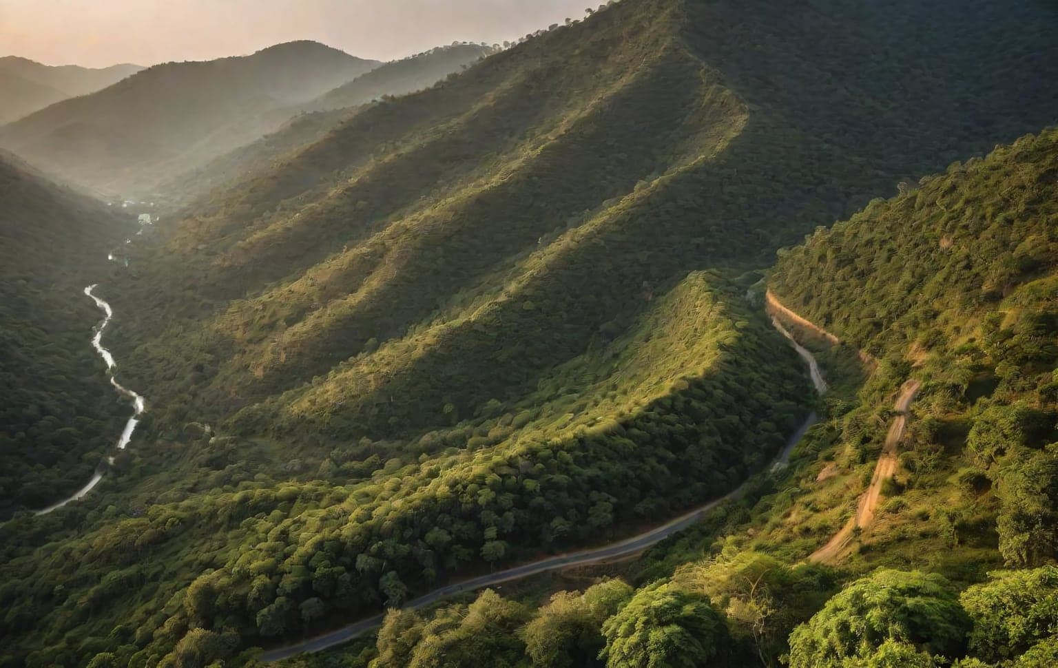
Yelagiri is a compact hill station in northern Tamil Nadu that offers a satisfying step up from beginner sand trails. The draw is a mix of paved ghat sections, side-tracks and rutted branches that reward careful line choice without demanding hardcore modifications. Most of the technical interest comes from loose, rocky climbs and the occasional washed-out section on the trails branching off the main road. Brakes and gearing matter more than outright power here — engine braking on the descents keeps things controlled and protects your brakes on the steeper grades. Start early to enjoy the cool air and the viewpoints before the day-trippers arrive, carry drinking water and basic spares, and stick to established public tracks. Forest fire-lines may be off-limits to vehicles or need forest-department permission — check local rules and never drive them without it. **Best season:** October - March **Recommended tyre pressure:** 24-28 PSI **Preparation:** - Use engine braking on steep descents - Check brakes and tyres before the climb - Start early to avoid traffic on narrow sections - Stay on established public tracks; don't drive forest fire-lines without checking permission
moderate · Rock terrain
Tirupattur, Tamil Nadu
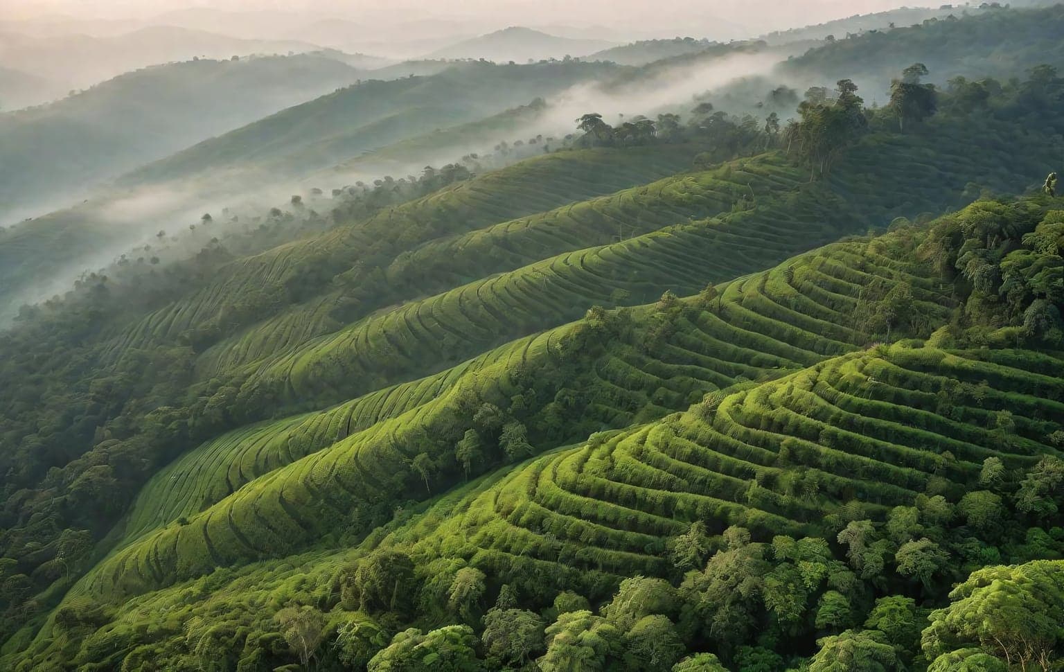
Yercaud sits in the Shevaroy Hills above Salem, a quieter Eastern Ghats hill station of coffee and orange estates, jackfruit groves and a small central lake. The off-road interest is gentle — red-earth estate tracks and rough viewpoint approaches that wind through plantation country to clifftop seats over the plains — making it an approachable run for newer off-roaders. Surfaces are mostly hard-packed earth that turns slippery after rain, with a few rutted sections. Much of the estate land is private and some forest patches are protected, so go with the estate's permission rather than cutting your own lines, and carry water and fuel for the day as services thin out on the upper hill. **Best season:** October - March **Recommended tyre pressure:** 26-30 PSI **Preparation:** - Come in the dry months — these hill tracks are unsafe and often impassable in the monsoon - Stay on public roads and tracks you have permission for; much land here is private estate or protected forest - Carry fuel, water and recovery gear — services thin out above the town - Slow down in mist and watch for unguarded drops at the viewpoints
moderate · Mud terrain
Salem, Tamil Nadu