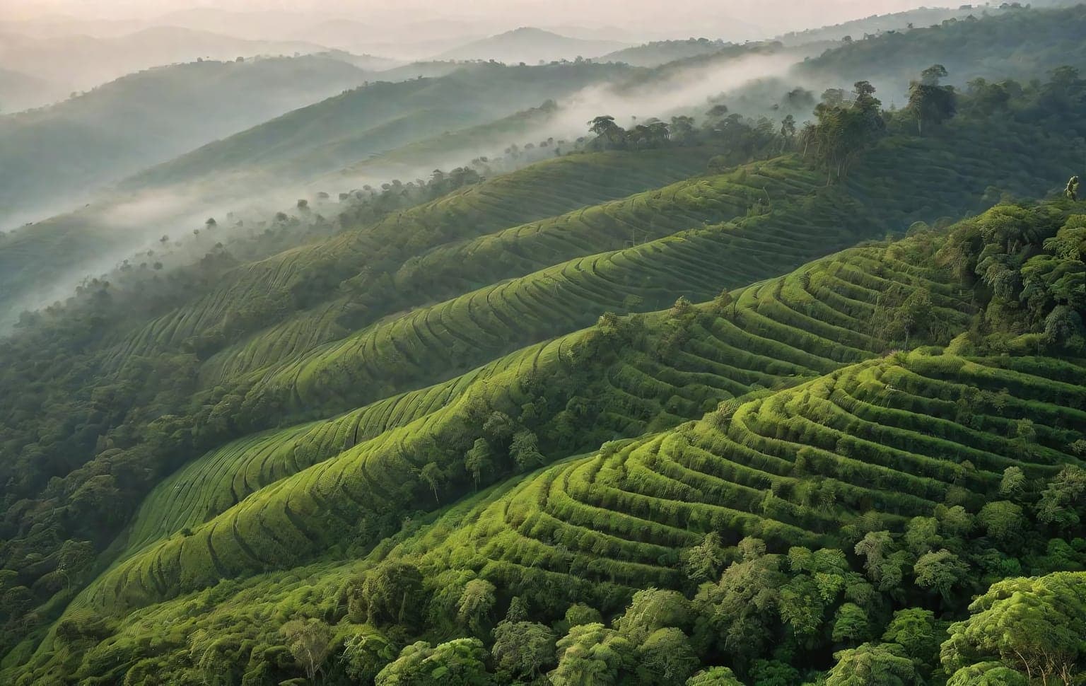
Trail access · Tamil Nadu
Yercaud (Shevaroy Hills)
Check details before you travel or payRead disclaimerHide disclaimer
- Watch out: The access status, permits and open/closed details shown here are our reading of public and official information as of the last-checked date — not verified live by us and not a guarantee the route is open, legal or safe today. Rules, zones and fees change without notice, so always confirm current access with the Forest Department / landowner / local authority before you travel.
- No Tarmac is not affiliated with, authorised by, or endorsed by these trails unless expressly stated — trails names and trademarks belong to their respective owners. We are a discovery directory: inclusion does not mean a trail has been verified or endorsed by No Tarmac.
- Details are compiled from public sources, cross-checked and drafted with AI assistance, and reviewed before publishing — general info, not individually verified fact. Always confirm with the owner or official source before you visit, book or pay. How we build & check listings →
- Images marked AIare AI-generated / illustrative — not photography of the specific trail.
Current access
Caution
The main approach is open, but some places inside are restricted or have a reported closure.
Routes, drives & experiences here
- Open Official
Salem–Yercaud ghat road (20 hairpin bends)
Scenic drive
moderate About 45 minutes to an hour for the climb from Salem, unhurried. sealed ghat roadThe classic approach — the roughly 28–32 km climb from Salem up the Shevaroys with 20 hairpin bends (the historic Arthur Havelock ghat), whose bends are named after Tamil scholars, kings and freedom fighters. It is a fully sealed mountain road: climb and descend slowly, use engine braking on the way down, and sound the horn on blind curves. The surface can be slick and foggy during and just after the monsoon — a seasonal hazard, not a closure.
Route details
What to expect: A sealed two-lane ghat that stacks 20 named hairpin bends in a short climb, with the plains and Salem city opening up below you — the panorama over Salem is a standout, especially near the top and after dark. Expect tour buses and share-cabs on the classic road; the Kuppanur (via Ayothiyapattinam) and Nagalur (via Bommidi) approaches are quieter forest-and-estate alternatives.
Best time: Good year-round as a cool hill drive; clearest views October–February. Avoid night driving in monsoon fog (June–September and just after).
How to reach: From Salem city / Salem bus station, take the classic Salem–Yercaud ghat road up the 20 bends into Yercaud town (~28–32 km).
- 20 named hairpin bends on a historic sealed ghat
- Panoramic views over Salem city and the plains
- Cool climate change as you climb ~1,000 m onto the plateau
- Quieter Kuppanur and Nagalur alternative approaches
- Open Official
Lady's Seat & Pagoda Point viewpoints
Viewpoint drive
easy About 30–60 minutes each including the drive out. sealed plateau roadCliff-edge viewpoints reached on sealed plateau roads — Lady's Seat over the Salem plains and the ghat switchbacks (best at sunset), and Pagoda Point about 5 km from town with a small Rama temple. The drops are largely unfenced and the rock gets slippery near water, so keep well back from edges, especially after rain and with children.
Route details
What to expect: Short paved drives from the loop road to two of the plateau's signature cliff edges: Lady's Seat looks straight down the ghat's hairpins toward Salem (a telescope is sometimes set up), while Pagoda Point offers a wide valley panorama beside a small shrine. Both get busy at sunset.
Best time: Late afternoon to sunset; clearest October–February.
How to reach: From Yercaud town follow the plateau loop road signposted to Lady's Seat (~2 km) and Pagoda Point (~5 km).
- Lady's Seat sunset view down the 20-bend ghat
- Pagoda Point valley panorama with a hilltop Rama shrine
- Both reached on easy sealed plateau roads
- Open Official
Shevaroyan (Servarayan) Temple drive — Shevaroy peak
Scenic drive
moderate About 1–2 hours from Yercaud town including the drive and a short walk. sealed plateau road + short walkA drive across the plateau toward the Servarayan (Shevaroyan) temple near the highest point of the range (~1,628 m per Wikipedia) — an ancient cave shrine to the hills' presiding deity, about 5 km from the lake, with sweeping views on the way up. Reached on public plateau roads then a short walk; it is an active place of worship, so dress respectfully and follow on-site rules. The lane narrows near the top — drive it slowly.
Route details
What to expect: A short sealed climb across the plateau to the highest reachable point in the Shevaroys, ending at a small ancient cave temple. Big open views over the hills on the way up; the final lane is narrow and can be busy on festival days. Around the annual May summer festival the temple area draws crowds.
Best time: Clear-weather mornings; October–February for the views. Extra busy during the May summer festival.
How to reach: From Yercaud town follow the plateau road toward Servarayan temple / Shevaroy peak (~5 km), then a short walk to the shrine.
- Drive to the highest point of the Shevaroy (Servarayan) range
- Ancient cave shrine to the presiding hill deity
- Sweeping plateau and valley views on the ascent
- Open
32 km plateau loop road
Scenic drive
easy Half a day (about 3–5 hours) with viewpoint stops. sealed plateau roadA loop road on the plateau (commonly cited as ~32 km) strings the main viewpoints together for a half-day drive through the coffee, orange and spice plantations that quilt the Shevaroys. Sealed plateau roads; some lanes narrow near the viewpoints.
Route details
What to expect: A relaxed sealed loop across the plateau linking Lady's Seat, Pagoda Point, the botanical garden and other viewpoints, winding through old coffee and citrus estates and pepper/cardamom gardens. Roads are paved but narrow and can be pot-holed or slick in patches after rain — drive gently and expect estate traffic.
Best time: Pleasant year-round; greenest and most fragrant just after the monsoon (September–November); clearest views October–February.
How to reach: Start from Yercaud town / the lake and follow the plateau loop signposted to Lady's Seat, Pagoda Point and the other viewpoints.
- Links most of the plateau's main viewpoints in one drive
- Coffee, orange, pepper and cardamom estate scenery
- Cool, quiet hill roads well suited to a slow half-day loop
Source: compiled from public informationView route - Open
Karadiyur View Point
Viewpoint drive
easy About 30–45 minutes including the drive. sealed plateau roadA cliff-edge viewpoint on the western side of the plateau, off the loop road, looking out over the plains and the ghat — a quieter alternative to Lady's Seat, good near sunset. The drop is steep and the edge unfenced, so keep well back, especially in wind or after rain. Popular local viewpoint; confirm the exact turning locally.
Route details
What to expect: A short paved run off the plateau loop to a quieter western-edge cliff, with wide-open views down to the plains and fewer crowds than the headline viewpoints — a good sunset stop. The edge is unfenced.
Best time: Late afternoon to sunset; clearest October–February.
How to reach: From Yercaud town head out along the western side of the plateau loop road toward Karadiyur; the viewpoint is a short signposted turn off the loop.
- Quiet western-edge cliff panorama over the plains
- Calmer sunset alternative to Lady's Seat
Source: compiled from public informationView route
- Forest permitShevaroy reserve forest (deeper treks)— The plateau lies within the Shevaroy reserve-forest belt covering much of the taluk — any deeper forest trekking should be checked with the local Forest Department (DFO) first; may be restricted, and this listing is not an endorsement. Stay on marked roads and trails and do not light fires or camp without authorisation. Confirm the exact rule locally.
- PrivateCoffee & spice estate land— The plantation and estate land across the Shevaroys (coffee, orange, pepper, cardamom) is private — enter only where public access is signposted, and respect estate boundaries.
- RestrictedSalem–Yercaud ghat — monsoon & night-driving advisory— The main ghat is OPEN — this is an advisory, not a closure. In and just after the monsoon expect dense mist and wet, slick asphalt (worst late afternoon and evening); a night-driving ban (roughly 10 pm–5 am) applies when mist is heavy, and heavy trucks / large tourist buses may be restricted during peak monsoon. The higher-risk mud and dense-fog conditions are on the unpaved off-road and interior plantation tracks, not the highway. Reported — confirm the current status with the local authority / Forest Department before you travel.
Open to all: Yercaud town, lake & plateau viewpoints · Kiliyur Falls (drive-to-point + foot trek) — public access, no permit.
Not every access detail here is officially confirmed — some are compiled from public information. Always verify current permits and closures with the Forest Department / governing authority before you go.
Data & verification
Access info verified from official sources · last checked 1 Sept 2026
Official resources — verify access & permits here
- Tamil Nadu Forest Department — find the local DFO / Range Office / Wildlife Warden contact
- Search: “Tamil Nadu Forest Department DFO office contact” for the range office nearest the trail.
- Emergency: 112 (India’s national emergency number). Find the local forest control-room / DFO number on the department site above.
Rules, permits and closures change and vary by exact location. Always confirm access with the Forest Department / government department that governs this trail before you drive — the resources above are guidance, not permission.
Sources & attribution5 sources
This page was prepared using public and official sources. Sources are provided for transparency and verification. Attribution is provided where required by the applicable source licence. Source attribution does not imply affiliation, sponsorship or endorsement.