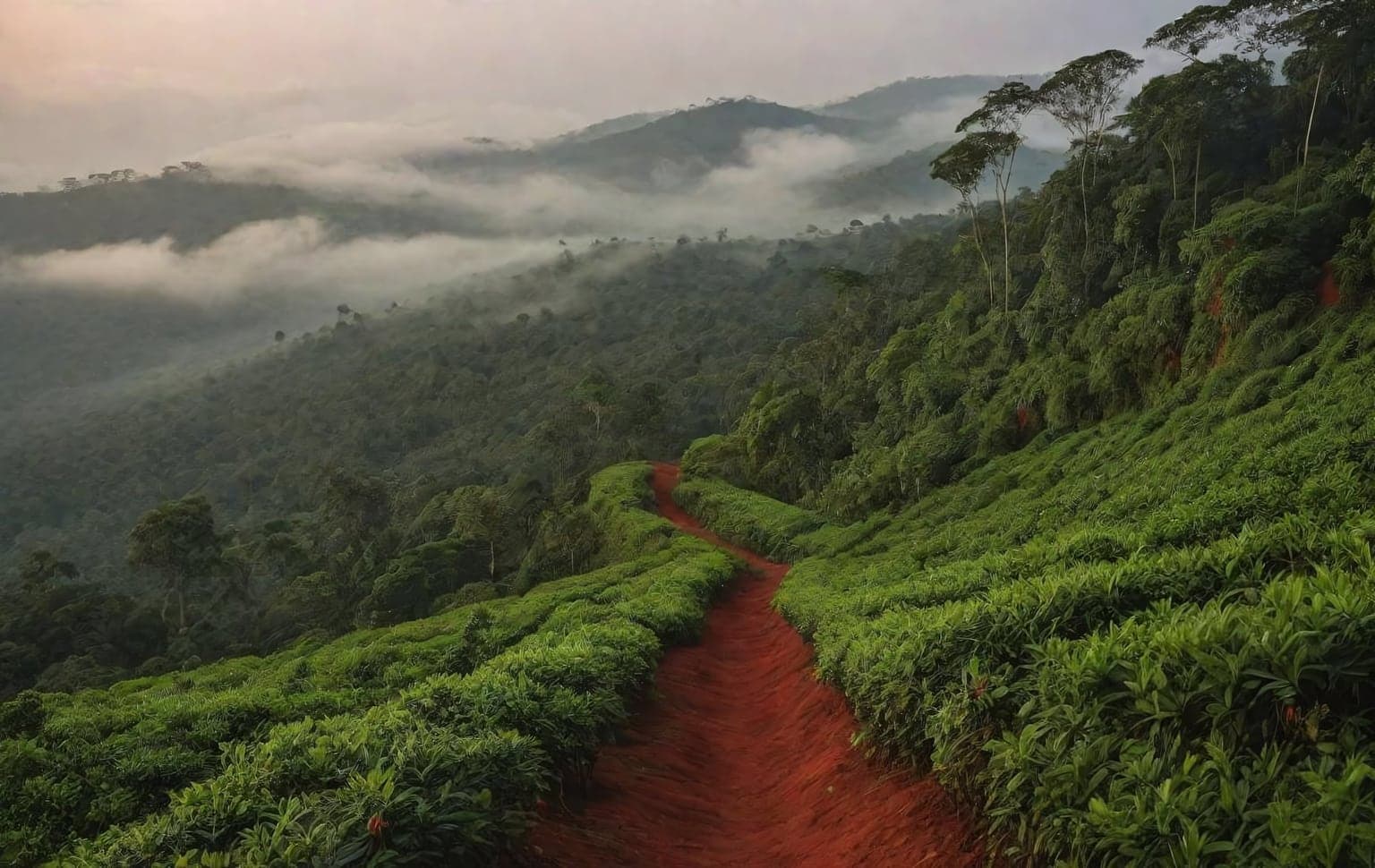
Trail access · Karnataka
Coorg
Check details before you travel or payRead disclaimerHide disclaimer
- Watch out: The access status, permits and open/closed details shown here are our reading of public and official information as of the last-checked date — not verified live by us and not a guarantee the route is open, legal or safe today. Rules, zones and fees change without notice, so always confirm current access with the Forest Department / landowner / local authority before you travel.
- No Tarmac is not affiliated with, authorised by, or endorsed by these trails unless expressly stated — trails names and trademarks belong to their respective owners. We are a discovery directory: inclusion does not mean a trail has been verified or endorsed by No Tarmac.
- Details are compiled from public sources, cross-checked and drafted with AI assistance, and reviewed before publishing — general info, not individually verified fact. Always confirm with the owner or official source before you visit, book or pay. How we build & check listings →
- Images marked AIare AI-generated / illustrative — not photography of the specific trail.
Current access
Caution
The main approach is open, but some places inside are restricted or have a reported closure.
Routes, drives & experiences here
- Restricted
Mandalpatti viewpoint track
Off-road trail
rough plantation / jeep trackA ~1,600 m viewpoint about 18 km from Madikeri, reached by a rough plantation track that is a ride in itself — local 4x4 jeeps run it and entry/jeep arrangements apply on the ground. There is a secluded waterfall below (do not descend alone). Confirm current access locally.
Source: compiled from public information - Open
Talakaveri & Bhagamandala scenic drive
Scenic drive
sealed hill roadA hill drive from Madikeri to the sacred Kaveri source at Talakaveri (~4,500 ft) and on to the Triveni Sangama at Bhagamandala (about 39 km) — plantation and ridge scenery the whole way.
Source: compiled from public information - Open
Abbey Falls & plantation lanes
Scenic drive
sealed / plantation laneA short 5–8 km drive from Madikeri through coffee and cardamom plantations to Abbey Falls; the falls carry water even in summer and are fullest in the monsoon.
Source: compiled from public information - Forest permit
Nagarhole & the wildlife sanctuaries (Pushpagiri, Talakaveri, Brahmagiri)
Jeep safari
Jeep safaris and vehicle entry into Nagarhole National Park and Kodagu's wildlife sanctuaries run on Karnataka Forest Department / Jungle Lodges & Resorts permits — book an official safari; do not drive in unpermitted.
Source: compiled from public information - Private
Coffee & spice estate jeep tracks
Jeep safari
plantation trackOperator-run 4x4/estate jeep tours cross PRIVATE plantation land — go with the estate or operator's permission, not free public entry.
Source: compiled from public information
- Forest permitReserved-forest treks (Tadiandamol, Kumara Parvata/Pushpagiri, Brahmagiri, Kotebetta)— Popular treks — several cross reserved-forest and wildlife-sanctuary land where a Forest Department permit and often a mandatory guide are required. Confirm with the local range office before you go.
Open to all: Kodagu (Coorg) public roads & estate ghats — public access, no permit.
Not every access detail here is officially confirmed — some are compiled from public information. Always verify current permits and closures with the Forest Department / governing authority before you go.
Data & verification
Access info verified from official sources · last checked 18 Aug 2026
Official resources — verify access & permits here
- Karnataka Forest Department (Aranya) — find the local DFO / Range Office / Wildlife Warden contact
- Search: “Karnataka Forest Department DFO office contact” for the range office nearest the trail.
- Emergency: 112 (India’s national emergency number). Find the local forest control-room / DFO number on the department site above.
Rules, permits and closures change and vary by exact location. Always confirm access with the Forest Department / government department that governs this trail before you drive — the resources above are guidance, not permission.
Sources & attribution1 source
This page was prepared using public and official sources. Sources are provided for transparency and verification. Attribution is provided where required by the applicable source licence. Source attribution does not imply affiliation, sponsorship or endorsement.