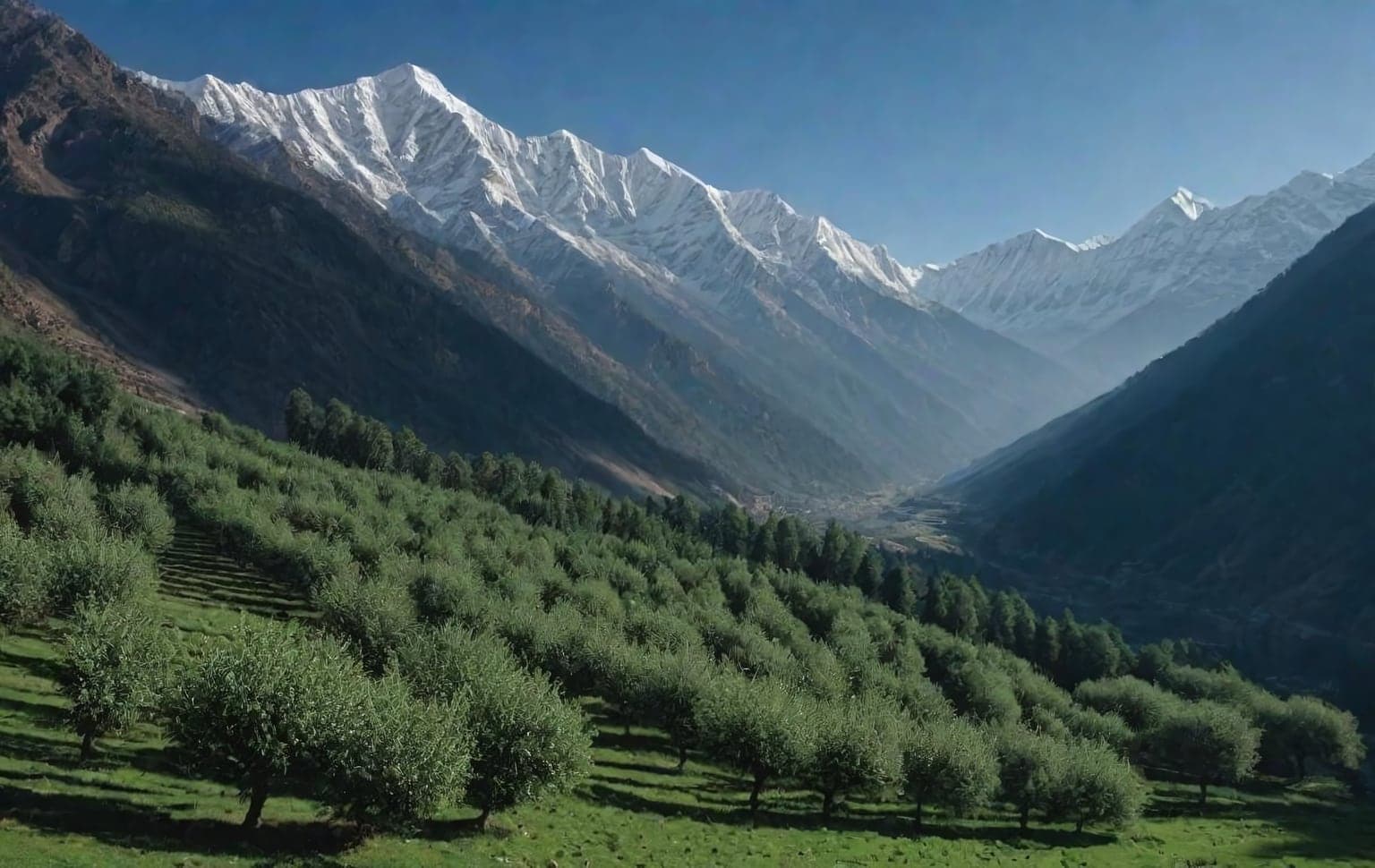
Trail access · Himachal Pradesh
Kalpa & Kinnaur
Check details before you travel or payRead disclaimerHide disclaimer
- Watch out: The access status, permits and open/closed details shown here are our reading of public and official information as of the last-checked date — not verified live by us and not a guarantee the route is open, legal or safe today. Rules, zones and fees change without notice, so always confirm current access with the Forest Department / landowner / local authority before you travel.
- No Tarmac is not affiliated with, authorised by, or endorsed by these trails unless expressly stated — trails names and trademarks belong to their respective owners. We are a discovery directory: inclusion does not mean a trail has been verified or endorsed by No Tarmac.
- Details are compiled from public sources, cross-checked and drafted with AI assistance, and reviewed before publishing — general info, not individually verified fact. Always confirm with the owner or official source before you visit, book or pay. How we build & check listings →
- Images marked AIare AI-generated / illustrative — not photography of the specific trail.
Current access
Caution
The main approach is open, but some places inside are restricted or have a reported closure.
Seasonal or older closure information — Winter road & village closures. This is not treated as a current closure. Check the latest local or official access status before travelling.
Routes, drives & experiences here
- Open
Roghi village cliff-road drive
Scenic drive
8 km cliff-hugging hill roadA short drive about 8 km from Kalpa on a cliff-hugging road to the orchard hamlet of Roghi — apple country and an unhurried look at Kinnauri village life.
Source: compiled from public information - Open
Sangla & Chitkul scenic drive
Scenic drive
73 km sealed mountain roadThe onward touring drive down the Baspa valley to Sangla (~42 km) and Chitkul (~73 km), the last village before the road ends at about 3,500 m. Long high-altitude roads with landslide-prone stretches — travel by day.
Source: compiled from public information - Open
Suicide Point viewpoint (Kalpa–Roghi road)
Viewpoint drive
Sheer-drop cliff viewpoint on the narrow Kalpa–Roghi mountain roadA named cliff viewpoint on the narrow Kalpa–Roghi road, with a steep unguarded drop. Reported public access; the road is single-lane and exposed. Confirm road condition locally, especially after rain or snow.
Source: compiled from public information - Open
Kinner Kailash Viewpoint drive (Kalpa)
Viewpoint drive
Roadside viewpoint over the Kinner Kailash range from above Kalpa villageRoad-accessible viewpoint over the Kinner Kailash range, distinct from the multi-day Kinner Kailash trek/parikrama. Reported public access. Confirm the approach road locally in winter.
Source: compiled from public information
- RestrictedChaakka trek— A guided climb up the mountain following a water channel — roughly 2–4 hours up and about 1.5 hours down, best started by around 9:30 AM. An on-foot trek, not a drive; a local guide is recommended for route-finding and safety, and acclimatise to the ~3,000 m altitude first.
- RestrictedOnward toward Spiti (inner-line-permit territory)— Travel deeper toward the Spiti valley from Kinnaur passes through inner-line-permit territory; permits are obtained at Reckong Peo before heading upward, and you should carry valid photo ID. Any permit or entry charges are set by the district administration — confirm current requirements and any fees with the official Kinnaur district / Himachal tourism channels at Reckong Peo.
- RestrictedInner Line Permit note — Kalpa/Sangla/Chitkul vs onward Spiti— Reported: Indian nationals do not need an Inner Line Permit for Kalpa, Sangla or Chitkul themselves; foreign nationals do require an ILP for parts of Kinnaur, and an ILP is needed to continue up the Hindustan–Tibet road toward Spiti (beyond the border-belt checkpoints). Confirm the current rule with the Kinnaur SDM/tourism office before travelling — permit rules near the border change.
Open to all: Kalpa village & Reckong Peo roads — public access, no permit.
Not every access detail here is officially confirmed — some are compiled from public information. Always verify current permits and closures with the Forest Department / governing authority before you go.
Data & verification
Access info verified from official sources · last checked 18 Aug 2026
Official resources — verify access & permits here
- Himachal Pradesh Forest Department — find the local DFO / Range Office / Wildlife Warden contact
- Search: “Himachal Pradesh Forest Department DFO office contact” for the range office nearest the trail.
- Emergency: 112 (India’s national emergency number). Find the local forest control-room / DFO number on the department site above.
Rules, permits and closures change and vary by exact location. Always confirm access with the Forest Department / government department that governs this trail before you drive — the resources above are guidance, not permission.
Sources & attribution5 sources
This page was prepared using public and official sources. Sources are provided for transparency and verification. Attribution is provided where required by the applicable source licence. Source attribution does not imply affiliation, sponsorship or endorsement.