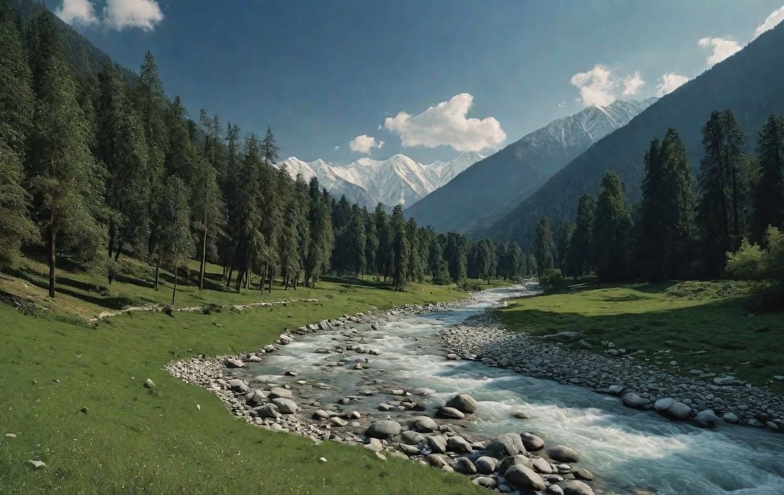
Trail access · Himachal Pradesh
Manali & the Kullu Valley
Check details before you travel or payRead disclaimerHide disclaimer
- Watch out: Part of this route is Forest-Department / protected land — a permit is legally required. Confirm with the local Divisional Forest Officer before you go. The access status, permits and open/closed details shown here are our reading of public and official information as of the last-checked date — not verified live by us and not a guarantee the route is open, legal or safe today. Rules, zones and fees change without notice, so always confirm current access with the Forest Department / landowner / local authority before you travel.
- No Tarmac is not affiliated with, authorised by, or endorsed by these trails unless expressly stated — trails names and trademarks belong to their respective owners. We are a discovery directory: inclusion does not mean a trail has been verified or endorsed by No Tarmac.
- Details are compiled from public sources, cross-checked and drafted with AI assistance, and reviewed before publishing — general info, not individually verified fact. Always confirm with the owner or official source before you visit, book or pay. How we build & check listings →
- Images marked AIare AI-generated / illustrative — not photography of the specific trail.
Current access
Restricted
Part of this route is Forest-Department / protected land — a permit is legally required.
⚠ Forest Department / protected area — permit legally required. Part or all of this route appears to cross Reserved or Protected Forest, a Wildlife Sanctuary, or a protected/eco-sensitive area. Under Indian law (Indian Forest Act 1927, Wildlife (Protection) Act 1972, Forest (Conservation) Act 1980), driving here without written permission from the Forest Department is illegal. It can lead to your vehicle being seized, and to fines or prosecution. You must obtain permission from the local Forest Department (the Divisional Forest Officer) before you go. 4x4trails.in does not grant any permission and is not responsible if you enter without one. Permit info: No permit to be in Manali/Kullu or to use the Atal Tunnel, but an NGT-mandated online permit (rohtangpermits.nic.in, with a daily vehicle quota) is required to drive up to Rohtang Pass ~3,980 m (same for Indians and foreigners). High routes carry glacial-stream crossings; Rohtang closes in winter and on bad-weather days.
Seasonal or older closure information — Rohtang road — winter & Tuesday closures. This is not treated as a current closure. Check the latest local or official access status before travelling.
Routes, drives & experiences here
- Restricted
Rohtang Pass drive
Scenic drive
high-altitude mountain road (rough, broken sections)The headline high-Himalaya drive at ~3,979 m, the highest point on the Manali–Keylong road, with panoramic views and Dassaur Lake / Beas Kund nearby. Access is regulated by the authorities — a permit/quota system and daily vehicle caps have applied in recent years — so arrange the official Rohtang permit through the government portal before you drive up (rules change by season; we don't quote them). A four-wheel drive is strongly advised. Rough, broken surfaces with blind turns and tight hairpins.
Source: compiled from public information - Restricted
Manali–Leh highway & Spiti (Gramphoo fork)
Scenic drive
high-altitude Himalayan highwayNorth of the Rohtang Pass the highway forks at Gramphoo — left to Lahaul and the Manali–Leh highway, right to Spiti via Kunzum La. These are serious high-mountain runs staged from Manali; a four-wheel drive is strongly advised. Seasonal opening/closing dates shift year to year with snow, and access follows the same regulated regime as Rohtang — confirm road status and permits before setting out. NOTE: this is a PAVED (if rough-in-patches) high-altitude highway, not an off-road trail — high-clearance/4x4 advised for broken stretches, and it is snowbound/closed in winter.
Source: compiled from public information - Open
Solang Valley (Snow Point) drive
Viewpoint drive
13 km sealed hill roadAbout 13 km northwest of Manali, a picturesque spot ('Snow Point') with big views of glaciers and snow-capped peaks and a hub for snow sports. In heavy-snow spells vehicles without 4WD may be stopped short of the pass around here (~16 km before Rohtang). Note: paragliding here carries real risk — choose operators carefully or skip it.
Source: compiled from public information - Open
Naggar & Nehru Kund / Rahala Falls scenic run
Scenic drive
sealed hill roadHistoric Naggar (Naggar Castle, the Roerich House and gallery) sits in the valley, while the early climb toward Rohtang passes the roadside spring at Nehru Kund (~6 km out) and Rahala Falls (~16 km out, ~2,501 m). Publicly drivable valley and lower-climb roads.
Source: compiled from public information
- Forest permitBeas Kund / Hampta Pass / Bhrigu / Deo Tibba treks— Classic high-altitude treks staged from the valley — Beas Kund, Hampta Pass, Bhrigu Lake, Deo Tibba and Friendship Peak. On-foot mountain routes (not drives); confirm current permit and guide requirements for the high country locally before you go.
Open to all: Manali town & lower Kullu valley roads — public access, no permit.
Not every access detail here is officially confirmed — some are compiled from public information. Always verify current permits and closures with the Forest Department / governing authority before you go.
Data & verification
Access info verified from official sources · last checked 18 Aug 2026
Official resources — verify access & permits here
- Himachal Pradesh Forest Department — find the local DFO / Range Office / Wildlife Warden contact
- Search: “Himachal Pradesh Forest Department DFO office contact” for the range office nearest the trail.
- Emergency: 112 (India’s national emergency number). Find the local forest control-room / DFO number on the department site above.
Rules, permits and closures change and vary by exact location. Always confirm access with the Forest Department / government department that governs this trail before you drive — the resources above are guidance, not permission.
Sources & attribution1 source
This page was prepared using public and official sources. Sources are provided for transparency and verification. Attribution is provided where required by the applicable source licence. Source attribution does not imply affiliation, sponsorship or endorsement.