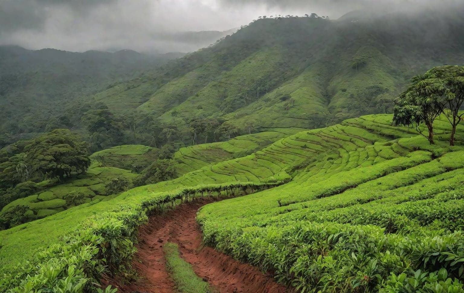
Trail access · Karnataka
Sakleshpur Scenic Drives & Hill Base
Check details before you travel or payRead disclaimerHide disclaimer
- Watch out: This trail is compiled from public sources and not verified by us — confirm access, safety and legality locally before you drive it. The access status, permits and open/closed details shown here are our reading of public and official information as of the last-checked date — not verified live by us and not a guarantee the route is open, legal or safe today. Rules, zones and fees change without notice, so always confirm current access with the Forest Department / landowner / local authority before you travel.
- No Tarmac is not affiliated with, authorised by, or endorsed by these trails unless expressly stated — trails names and trademarks belong to their respective owners. We are a discovery directory: inclusion does not mean a trail has been verified or endorsed by No Tarmac.
- Details are compiled from public sources, cross-checked and drafted with AI assistance, and reviewed before publishing — general info, not individually verified fact. Always confirm with the owner or official source before you visit, book or pay. How we build & check listings →
- Images marked AIare AI-generated / illustrative — not photography of the specific trail.
Current access
Access unverified
We could not confirm the legal access for this trail from an official source.
Access not verified. We could not confirm the legal access for this trail from an official source — it may be forest / permit-controlled or on private land. Do NOT assume it is open; confirm with the Forest Department / local authority before you drive. MIXED ACCESS — sort out BOTH. The adjoining Bisle Reserve Forest (Karnataka Forest Department) is off-limits to casual driving — do not enter reserved forest without a Forest Dept permit. Separately, the popular jeep ‘safaris’ run on PRIVATE coffee/plantation estates needing the owner/operator’s permission, not public land. Western Ghats monsoon (Jun–Sep) is heavy; expect slick tracks and stream crossings.
Seasonal or older closure information — Green Route / Sakleshpur–Yedakumeri railway trek. This is not treated as a current closure. Check the latest local or official access status before travelling.
Routes, drives & experiences here
- Open
Manjarabad Fort drive
Scenic drive
sealed road + short walkA short drive about 4 km from town to the eight-pointed-star fort built by Tipu Sultan in 1792 — the signature landmark of Sakleshpur, freely visited as a day stop.
Source: compiled from public information - Open
Bisle Ghat View Point drive
Scenic drive
35 km sealed hill roadA classic Western-Ghats panorama over layered forested ridges, roughly 35 km out, set within the Bisle reserve forest. The viewpoint drive is a public day stop; note that hikes or forest entry off the road within the reserve fall under Forest-Department control (see below).
Source: compiled from public information - Forest permit
Ombattu Gudda trek
Off-road trail
Steep Western Ghats ridge-and-stream trek through reserve forest near BisleMulti-source trek guides consistently report that Ombattu Gudda ('nine hills') lies in reserve forest near Bisle and needs prior forest-department permission, usually arranged through a local guide/homestay; solo entry is discouraged. Reported — confirm the current permission requirement locally before going.
Source: compiled from public information - Open
Magajahalli Waterfalls drive
Viewpoint drive
Estate/forest-edge road to the Magajahalli (Manjehalli) falls near SakleshpurRoad-accessible waterfall reached via estate and forest-edge roads near Sakleshpur; the last stretch can be rough and slippery in monsoon. Reported public access. Confirm the approach and water level locally.
Source: compiled from public information
- Forest permitBisle reserve forest hikes & viewpoints— Some hikes and forest viewpoints in or near the Bisle reserve forest fall under Karnataka Forest Department control and may require permission or a guide; camping inside reserve/shola forest is regulated. Arrange through the local forest office, not an informal fixer, and confirm current permit and guide rules locally before you go. This is elephant country with leeches through the wet months.
- Forest permitJenukallu Betta & Agni Gudda ridge hikes— On-foot viewpoint hikes rather than drives — Jenukallu Betta (the highest peak in Hassan district, ~1,380 m, about 38 km from town) and the shorter Agni Gudda sunset ridge near town. Where these cross reserve/shola forest, a Forest-Department permit and a guide may be required; confirm sanctioned trails locally.
Open to all: Sakleshpur town, NH 75 & estate roads — public access, no permit.
Not every access detail here is officially confirmed — some are compiled from public information. Always verify current permits and closures with the Forest Department / governing authority before you go.
Data & verification
Official resources — verify access & permits here
- Karnataka Forest Department (Aranya) — find the local DFO / Range Office / Wildlife Warden contact
- Search: “Karnataka Forest Department DFO office contact” for the range office nearest the trail.
- Emergency: 112 (India’s national emergency number). Find the local forest control-room / DFO number on the department site above.
Rules, permits and closures change and vary by exact location. Always confirm access with the Forest Department / government department that governs this trail before you drive — the resources above are guidance, not permission.
Sources & attribution4 sources
This page was prepared using public and official sources. Sources are provided for transparency and verification. Attribution is provided where required by the applicable source licence. Source attribution does not imply affiliation, sponsorship or endorsement.